PENJIKENT
- Geographical coordinates: 39°30′N 67°37′E
- Meaning in Persian: Five towns
- Elevation: 996 m
- Official language: Tajik
- Popular languages: Russian, Uzbek etc.
- Nationals: Tajiks, Uzbek, Russian etc.
- Population: 42 800 (as of 2019)
- Time Zone: UTC+5
- Telephone Code: +992 34
- Postal Codes: 735XXX
- Vehicle Registration Code: 02
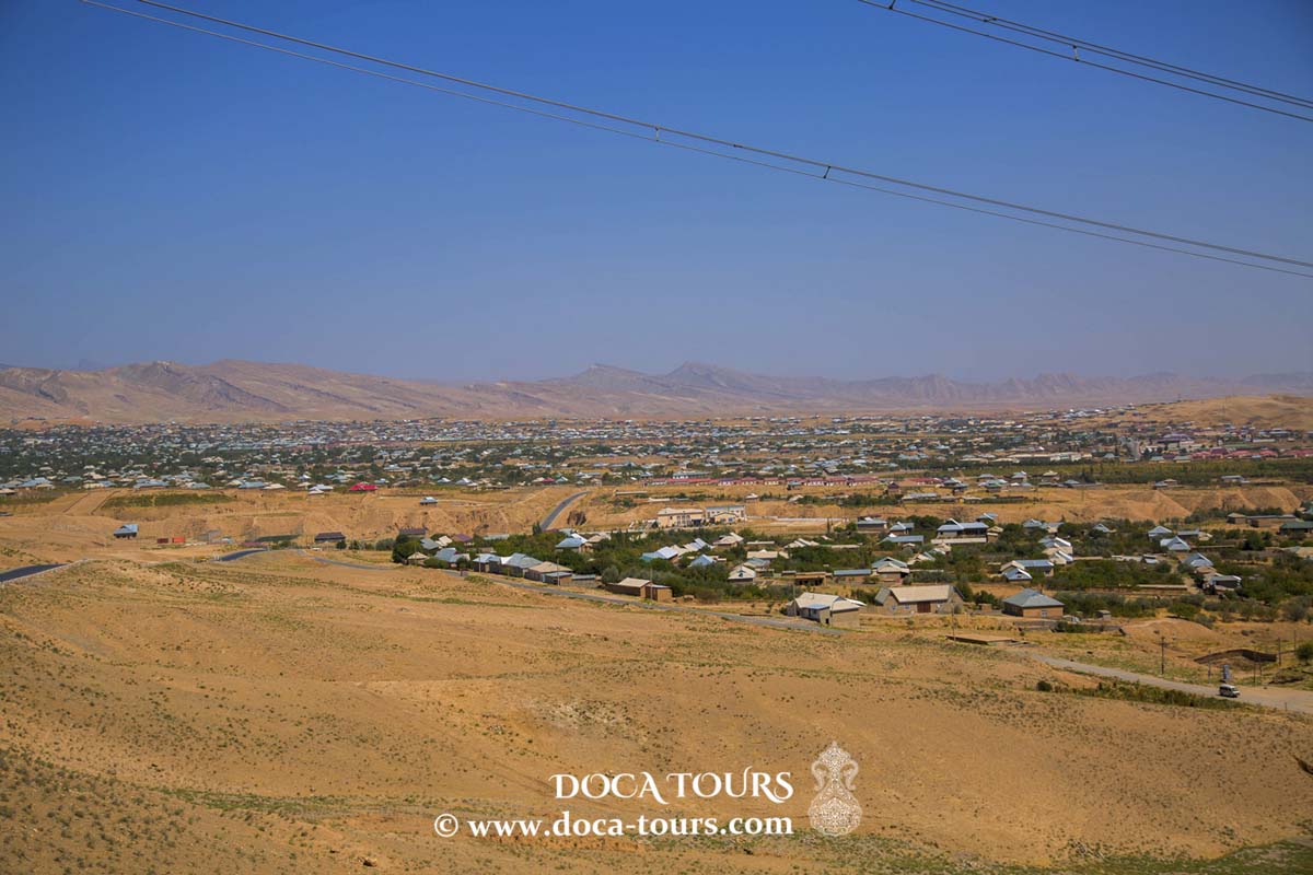
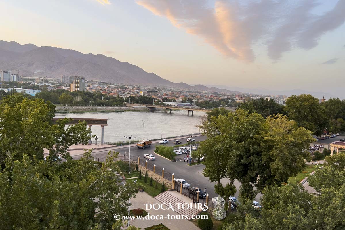
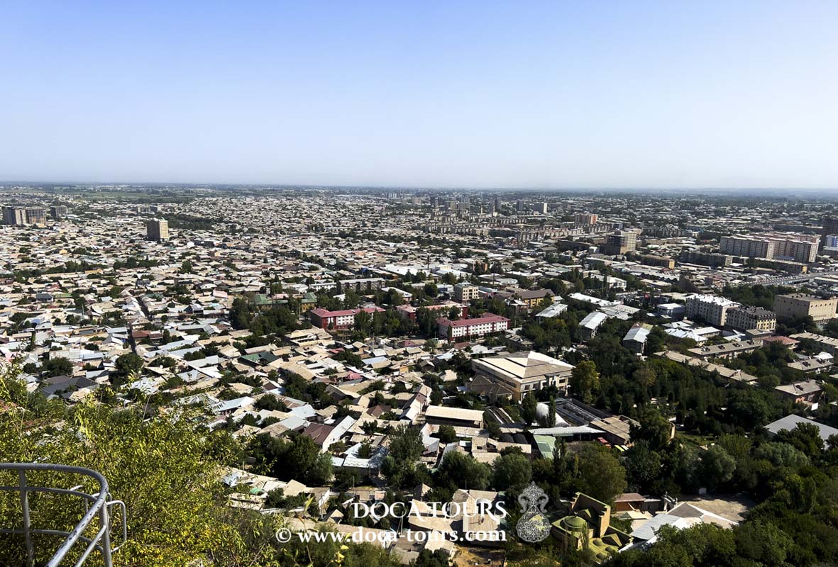
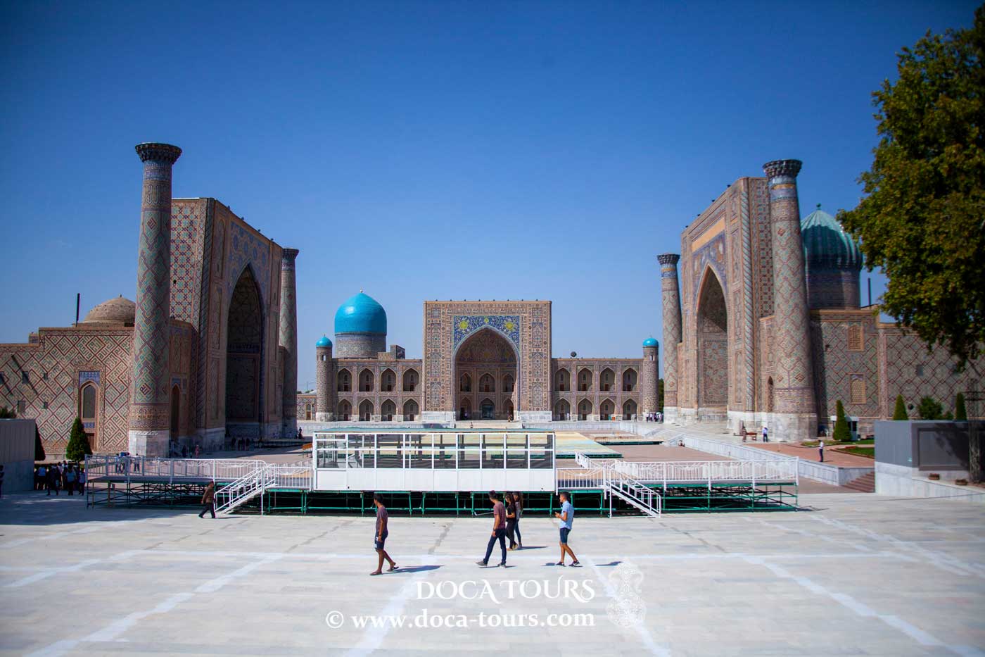
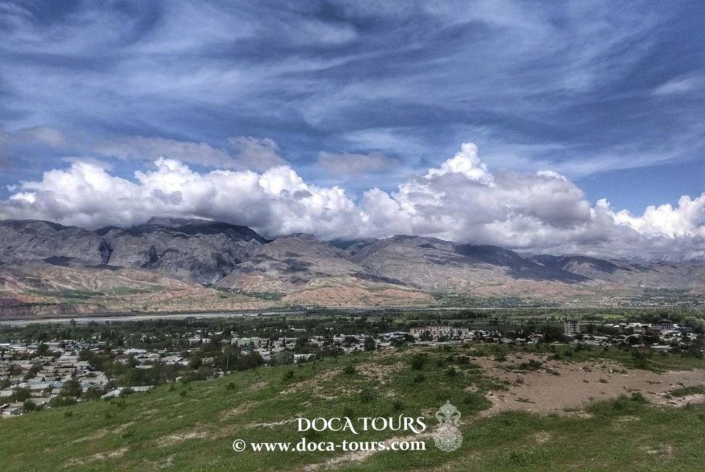
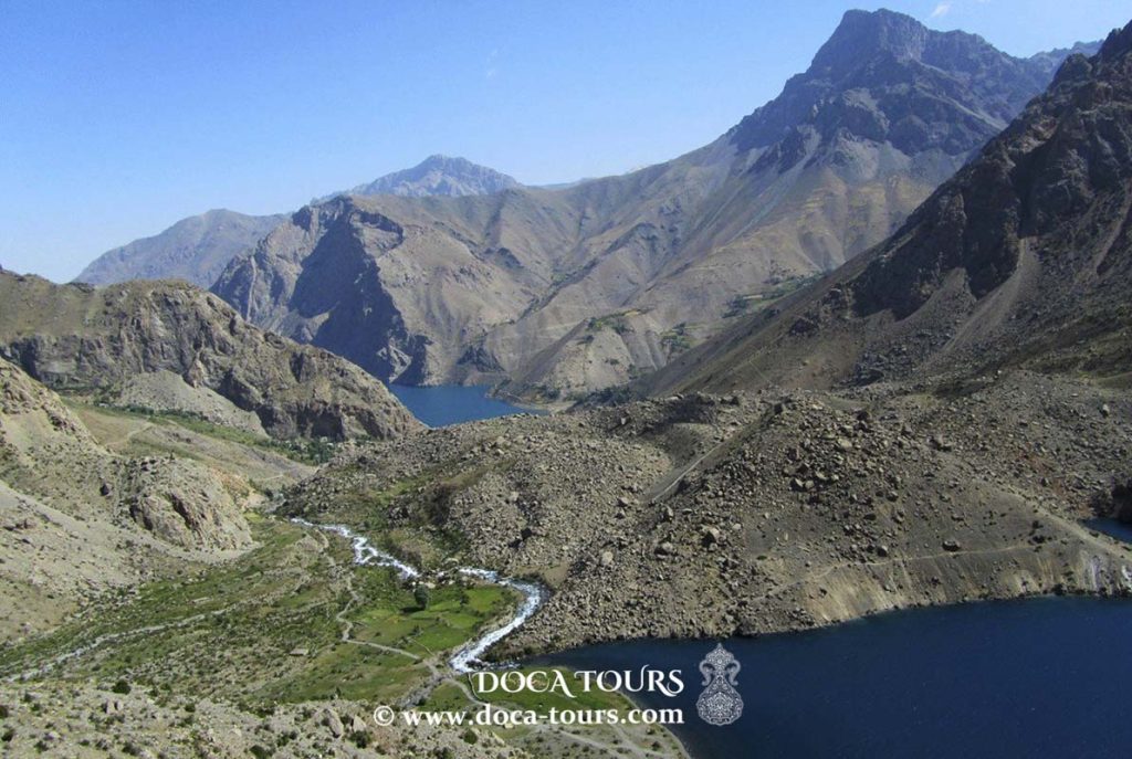
Penjikent is the administrative center of the Penjikent District in the Sughd Region of Tajikistan. It is situated in the Zarafshan Valley, on the left bank of the Zarafshan River, at an altitude of 900 meters above sea level. The city lies 48 km east of Samarkand, 240 km northwest of Dushanbe, and 270 km southwest of Khujand. Penjikent is known for its landmarks, architectural monuments, and scenic recreation areas along the Zarafshan River.

Name
The name of the medieval city of Penjikent is documented in Sogdian manuscripts from Mount Mugh and on Sogdian coins. It means "City of Panj" and originates from the medieval Sogdian region of Panch (Sogd. Pnc), with Penjikent serving as its main administrative center. The name is typically interpreted as "City of Five" or "Pentapolis."
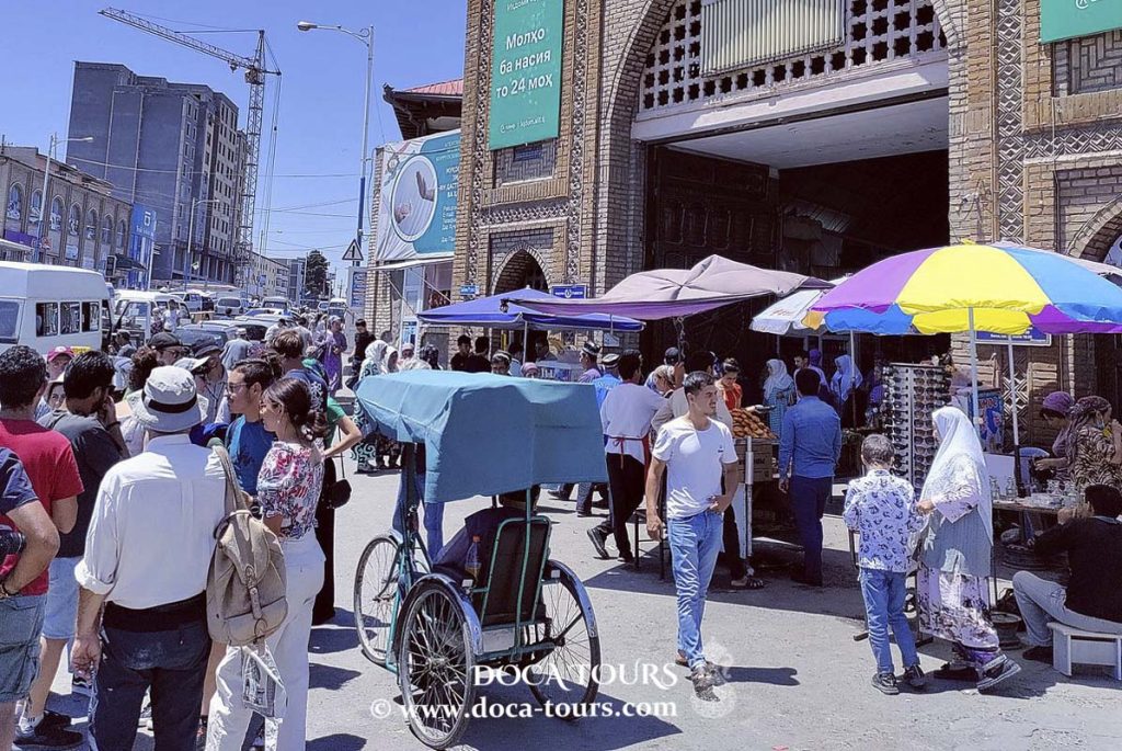
In Ivan Sergeyev's book The Mystery of Geographical Names, it is noted that an old map of the Turkestan Governor-Generalship lists the town as "Panjshambe," suggesting the name refers to the fifth day of the week, Thursday, which was likely the town's market day.
History
Fifteen kilometers west of Penjikent, near the border with Uzbekistan, lies the ancient settlement of Sarazm, dating to the Neolithic and Bronze Ages (circa 3400–late 3rd millennium BCE). Sarazm exhibits close cultural ties to early Near Eastern civilizations and was the earliest agricultural center in Central Asia north of the Amu Darya River.
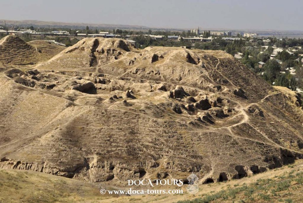
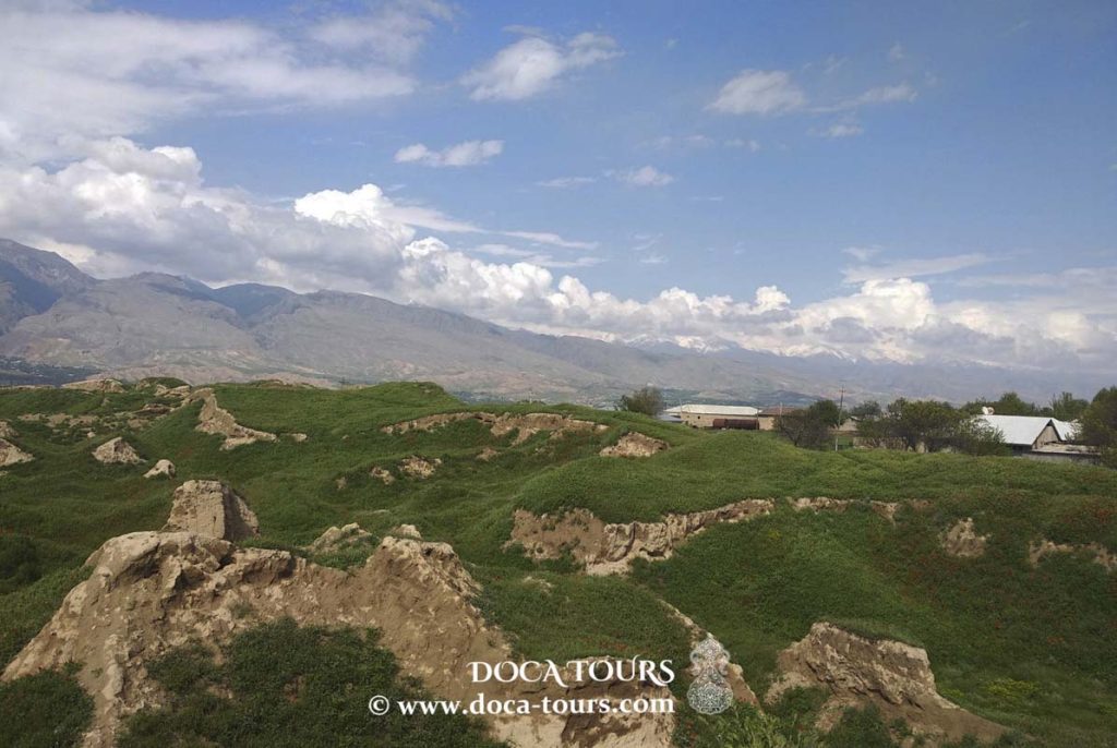
On the southeastern outskirts of modern Penjikent, the ruins of ancient Penjikent (5th–8th centuries) are located on a second-level terrace on the left bank of the Zarafshan River. This pre-Islamic Sogdian cultural site dates to the era of feudal relations in Central Asia. Excavations at the site began in 1947 and were led by B. I. Marshak from 1978 to 2006. These digs uncovered the structure of a wealthy early medieval city, including remarkable wall paintings by Sogdian artisans. Penjikent was a key cultural center of Central Asia, fortified and prosperous, and an important stop on the Silk Road.
According to S. G. Khmelnitsky, the rise of Penjikent as the capital of Upper Zarafshan in the 5th century (and briefly the residence of the Sogdian ikhshid) may have been driven by a temporary decline in Samarkand, prompting some of its population to move eastward to safer, mountainous areas.
In the 7th and 8th centuries, notable rulers of Penjikent included the Sogdian "afshin" Chekin Chur Bilge (circa 680–709) and his son-in-law, the ikhshid Devashtich (709–722). During this period, Central Asia was conquered by the Arabs. Devashtich, one of the last Sogdian rulers, led a rebellion against the invaders but was defeated in 722 when the troops of the Khorasan emir Sa'id al-Harashi deceived him into leaving the fortress of Mugh, where he and his forces had resisted. Subsequent revolts against Arab rule occurred in the region (notably in 728–729), and many Sogdians participated in the rebellion of their kinsman An Lushan in China. The Sogdian ikhshid dynasty was eventually eliminated by the Persian general Abu Muslim in 750.
In ancient Penjikent, hearths resembling modern sandali—coal pits in the floor—were used. A primitive heating system also existed, where heated air circulated through openings at the base of walls to warm homes.
The Zarafshan Valley retained its ancient name through the Middle Ages, when it was known as Sogd of Samarkand.
During the Bukharan Emirate, Penjikent was the center of the Penjikent Bekdom. In the Tajik ASSR, it became the administrative center of the Penjikent Vilayet.
Architectural Heritage
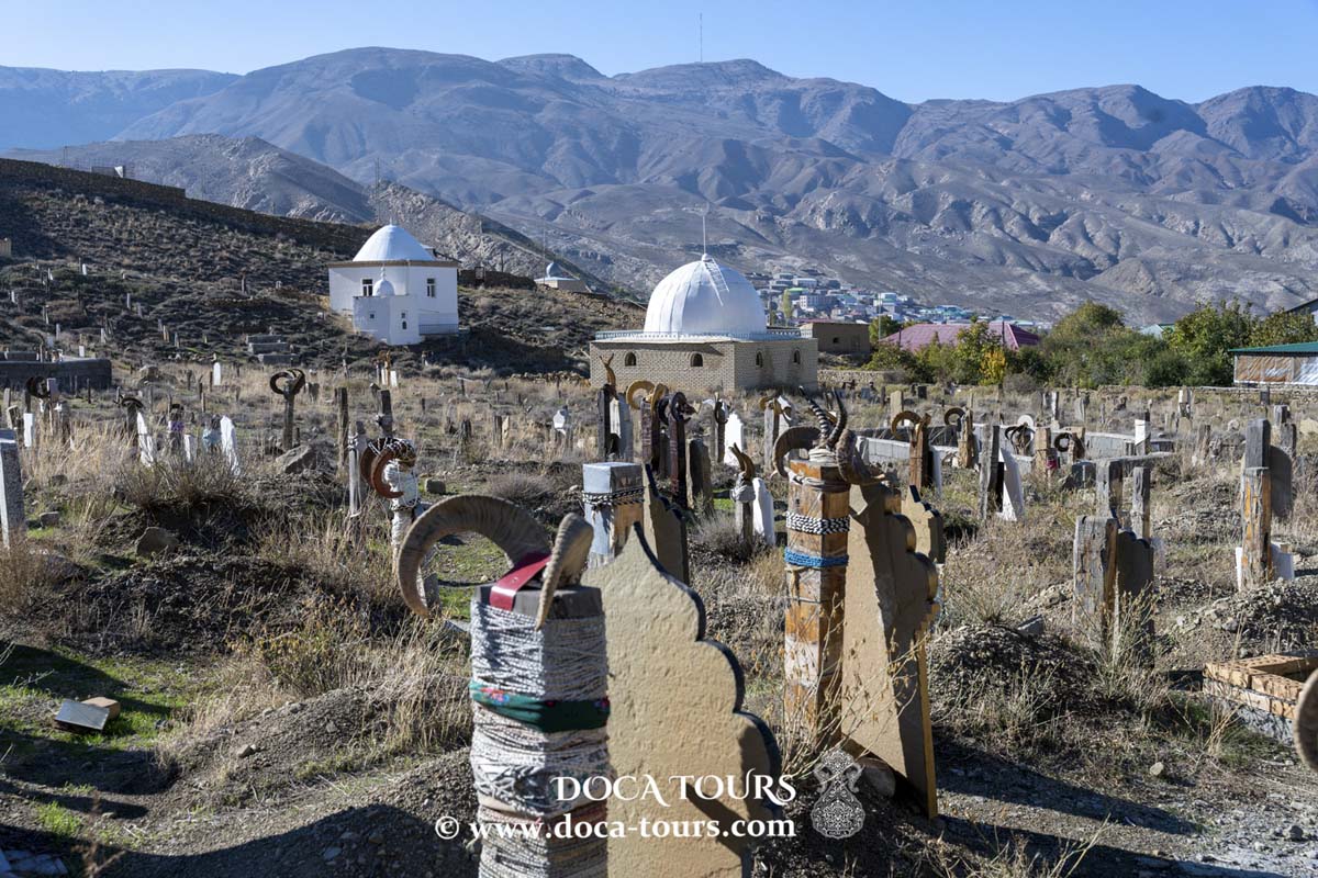
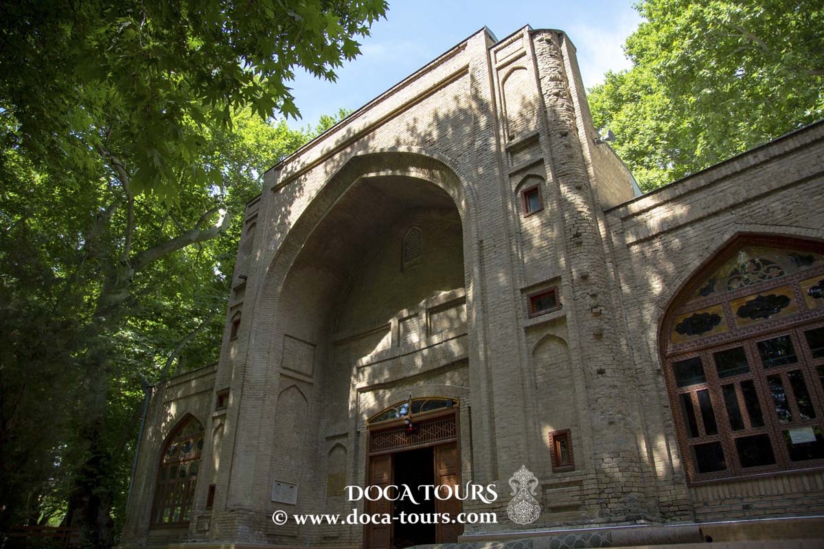
One of Penjikent’s notable architectural monuments is the mausoleum of Muhammad Bashoro, dating to the 12th–14th centuries. Located 37 km from the city in a picturesque gorge of the northern foothills of the Zarafshan Range, it stands as a prominent example of Tajik architecture.
Cultural Significance
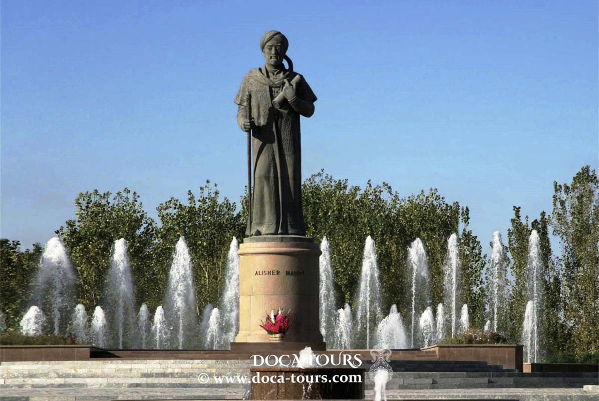
Sixty kilometers east of Penjikent, in the Zarafshan Valley among the high mountains of the Pamir-Alay system, lies the small village of Panjrud. This village is the birthplace of Abu Abdullah Jafar ibn Muhammad Rudaki, the founder of Tajik-Persian literature, poet, and musician.
Excavations
Archaeological research in Penjikent began in 1946 under the direction of A. Yu. Yakubovsky as part of the Sogdian-Tajik Archaeological Expedition. The site consists of a fortified shahristan (the city proper), kuhendiz (citadel with the ruler’s palace), rabad (suburbs with individual estates), and a necropolis. The city flourished from the 6th to the mid-8th century. In the early 8th century, Penjikent was destroyed by Arab forces and abandoned in the latter half of the century. Two distinct construction phases have been identified: the first from the 6th century and the second from the 7th–8th centuries. Excavations in the shahristan revealed remnants of fortification walls, a network of streets, two temples, over 100 multi-room two-story houses, as well as craft workshops and shops. Buildings were constructed from sun-dried bricks and pakhsa blocks. The suburbs were inhabited by artisans and farmers. The necropolis consisted of small crypts (naus) where bones of the deceased were placed in ossuaries.
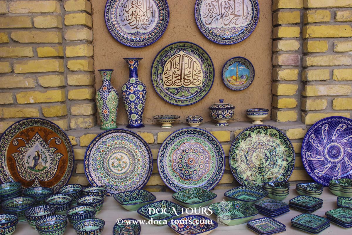
Artifacts unearthed in Penjikent include pottery, metalwork, and other craft products. Several thousand bronze and silver coins were found, including hoards. Particularly valuable are locally minted Sogdian coins. Epigraphic finds include pottery shards with inscriptions in Sogdian and, less frequently, Arabic. One fragment of a draft letter in Sogdian contains a Turkic name, Turkash. Numerous artworks were discovered, including reliefs, sculptures of clay and wood, carved architectural decorations, and wall paintings in palaces, temples, and the homes of nobles and wealthy citizens.
A notable find in one temple is a sculptural panel depicting a water landscape, likely symbolizing the Zarafshan River. Wooden carvings were charred during the city’s destruction by fire, but wooden statues and numerous carved panels with scenes and ornamental designs were recovered. Monumental wall paintings depict feasts, battles, epics, rituals, and everyday life, alongside varied decorative motifs. Penjikent’s artistic monuments are stylistically and thematically linked to the cultural heritage of other Central Asian regions (Varakhsha, Balalyk-tepe), as well as to the art of India, Iran, Afghanistan, and East Turkestan.
20th Century
On November 28, 1938, the village of Penjikent was granted the status of an urban-type settlement, and in 1953 it became a city.
21st Century
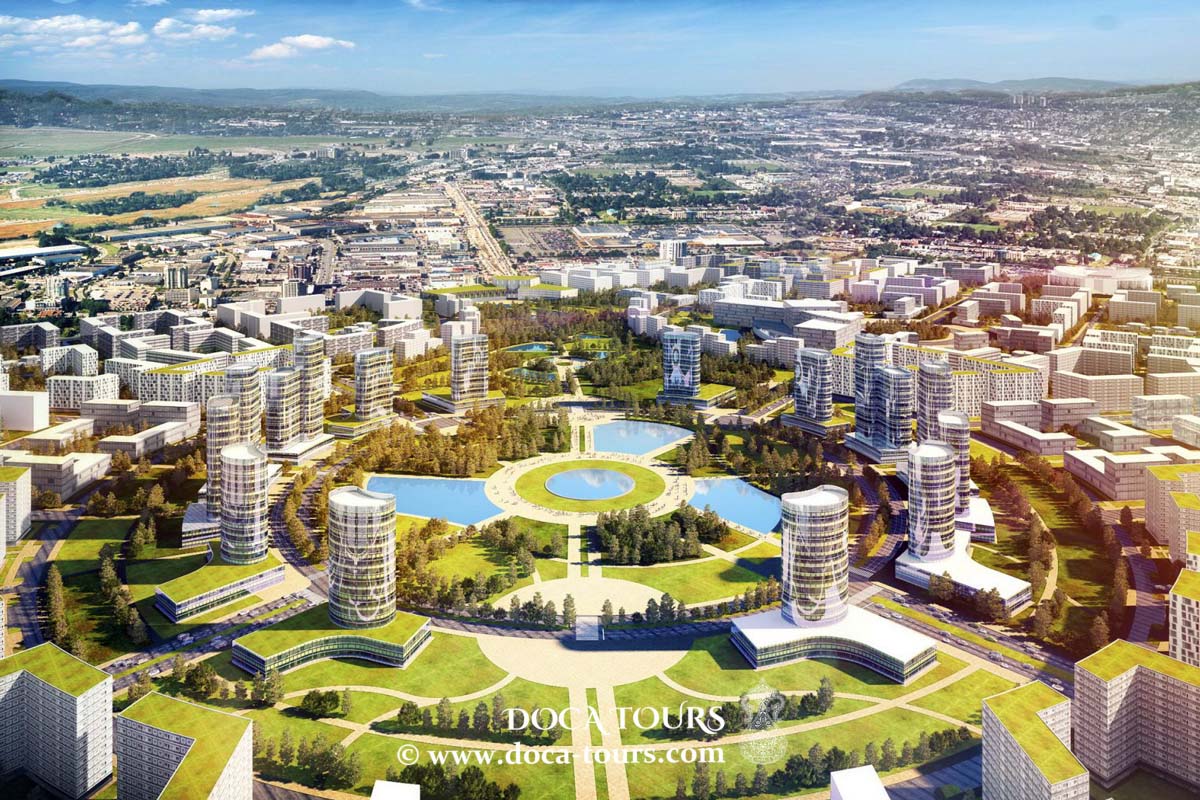
According to the general development plan, by 2035, the territory of Penjikent will expand fourfold (from 6.86 km² to 28.34 km²) by incorporating nearby villages, including Kabudsang, Navruzteppa, Devashtich, Shurcha, Savr, Zebon, Nuriston, Chorvodor, Chinor, Darvozakam, and settlements on the right bank of the Zarafshan River—Sari-Kamar, Vahdat, and Ozodagon. The city will then span both sides of the Zarafshan River.
Transportation
Road transportation is the primary and most vital means of transit in Penjikent, serving as the only link to the regional center of Khujand (270 km away) and the nation’s capital, Dushanbe (240 km away). The city lies along the road connecting Dushanbe and Ayni and the Penjikent-Samarkand route in Uzbekistan. During the Soviet era, Penjikent also had air links with Dushanbe and other Tajik cities.
In 2015, with domestic and foreign investment, the mountainous Ayni-Penjikent highway was reconstructed. The completion of the Shakhristan and Istiklol (formerly Anzob) mountain tunnels enabled year-round road connectivity.


 In Ivan Sergeyev's book The Mystery of Geographical Names, it is noted that an old map of the Turkestan Governor-Generalship lists the town as "Panjshambe," suggesting the name refers to the fifth day of the week, Thursday, which was likely the town's market day.
 On the southeastern outskirts of modern Penjikent, the ruins of ancient Penjikent (5th–8th centuries) are located on a second-level terrace on the left bank of the Zarafshan River. This pre-Islamic Sogdian cultural site dates to the era of feudal relations in Central Asia. Excavations at the site began in 1947 and were led by B. I. Marshak from 1978 to 2006. These digs uncovered the structure of a wealthy early medieval city, including remarkable wall paintings by Sogdian artisans. Penjikent was a key cultural center of Central Asia, fortified and prosperous, and an important stop on the Silk Road.
According to S. G. Khmelnitsky, the rise of Penjikent as the capital of Upper Zarafshan in the 5th century (and briefly the residence of the Sogdian ikhshid) may have been driven by a temporary decline in Samarkand, prompting some of its population to move eastward to safer, mountainous areas.
On the southeastern outskirts of modern Penjikent, the ruins of ancient Penjikent (5th–8th centuries) are located on a second-level terrace on the left bank of the Zarafshan River. This pre-Islamic Sogdian cultural site dates to the era of feudal relations in Central Asia. Excavations at the site began in 1947 and were led by B. I. Marshak from 1978 to 2006. These digs uncovered the structure of a wealthy early medieval city, including remarkable wall paintings by Sogdian artisans. Penjikent was a key cultural center of Central Asia, fortified and prosperous, and an important stop on the Silk Road.
According to S. G. Khmelnitsky, the rise of Penjikent as the capital of Upper Zarafshan in the 5th century (and briefly the residence of the Sogdian ikhshid) may have been driven by a temporary decline in Samarkand, prompting some of its population to move eastward to safer, mountainous areas.
 In the 7th and 8th centuries, notable rulers of Penjikent included the Sogdian "afshin" Chekin Chur Bilge (circa 680–709) and his son-in-law, the ikhshid Devashtich (709–722). During this period, Central Asia was conquered by the Arabs. Devashtich, one of the last Sogdian rulers, led a rebellion against the invaders but was defeated in 722 when the troops of the Khorasan emir Sa'id al-Harashi deceived him into leaving the fortress of Mugh, where he and his forces had resisted. Subsequent revolts against Arab rule occurred in the region (notably in 728–729), and many Sogdians participated in the rebellion of their kinsman An Lushan in China. The Sogdian ikhshid dynasty was eventually eliminated by the Persian general Abu Muslim in 750.
In ancient Penjikent, hearths resembling modern sandali—coal pits in the floor—were used. A primitive heating system also existed, where heated air circulated through openings at the base of walls to warm homes.
In the 7th and 8th centuries, notable rulers of Penjikent included the Sogdian "afshin" Chekin Chur Bilge (circa 680–709) and his son-in-law, the ikhshid Devashtich (709–722). During this period, Central Asia was conquered by the Arabs. Devashtich, one of the last Sogdian rulers, led a rebellion against the invaders but was defeated in 722 when the troops of the Khorasan emir Sa'id al-Harashi deceived him into leaving the fortress of Mugh, where he and his forces had resisted. Subsequent revolts against Arab rule occurred in the region (notably in 728–729), and many Sogdians participated in the rebellion of their kinsman An Lushan in China. The Sogdian ikhshid dynasty was eventually eliminated by the Persian general Abu Muslim in 750.
In ancient Penjikent, hearths resembling modern sandali—coal pits in the floor—were used. A primitive heating system also existed, where heated air circulated through openings at the base of walls to warm homes.
 The Zarafshan Valley retained its ancient name through the Middle Ages, when it was known as Sogd of Samarkand.
During the Bukharan Emirate, Penjikent was the center of the Penjikent Bekdom. In the Tajik ASSR, it became the administrative center of the Penjikent Vilayet.
The Zarafshan Valley retained its ancient name through the Middle Ages, when it was known as Sogd of Samarkand.
During the Bukharan Emirate, Penjikent was the center of the Penjikent Bekdom. In the Tajik ASSR, it became the administrative center of the Penjikent Vilayet.
 Artifacts unearthed in Penjikent include pottery, metalwork, and other craft products. Several thousand bronze and silver coins were found, including hoards. Particularly valuable are locally minted Sogdian coins. Epigraphic finds include pottery shards with inscriptions in Sogdian and, less frequently, Arabic. One fragment of a draft letter in Sogdian contains a Turkic name, Turkash. Numerous artworks were discovered, including reliefs, sculptures of clay and wood, carved architectural decorations, and wall paintings in palaces, temples, and the homes of nobles and wealthy citizens.
 A notable find in one temple is a sculptural panel depicting a water landscape, likely symbolizing the Zarafshan River. Wooden carvings were charred during the city’s destruction by fire, but wooden statues and numerous carved panels with scenes and ornamental designs were recovered. Monumental wall paintings depict feasts, battles, epics, rituals, and everyday life, alongside varied decorative motifs. Penjikent’s artistic monuments are stylistically and thematically linked to the cultural heritage of other Central Asian regions (Varakhsha, Balalyk-tepe), as well as to the art of India, Iran, Afghanistan, and East Turkestan.