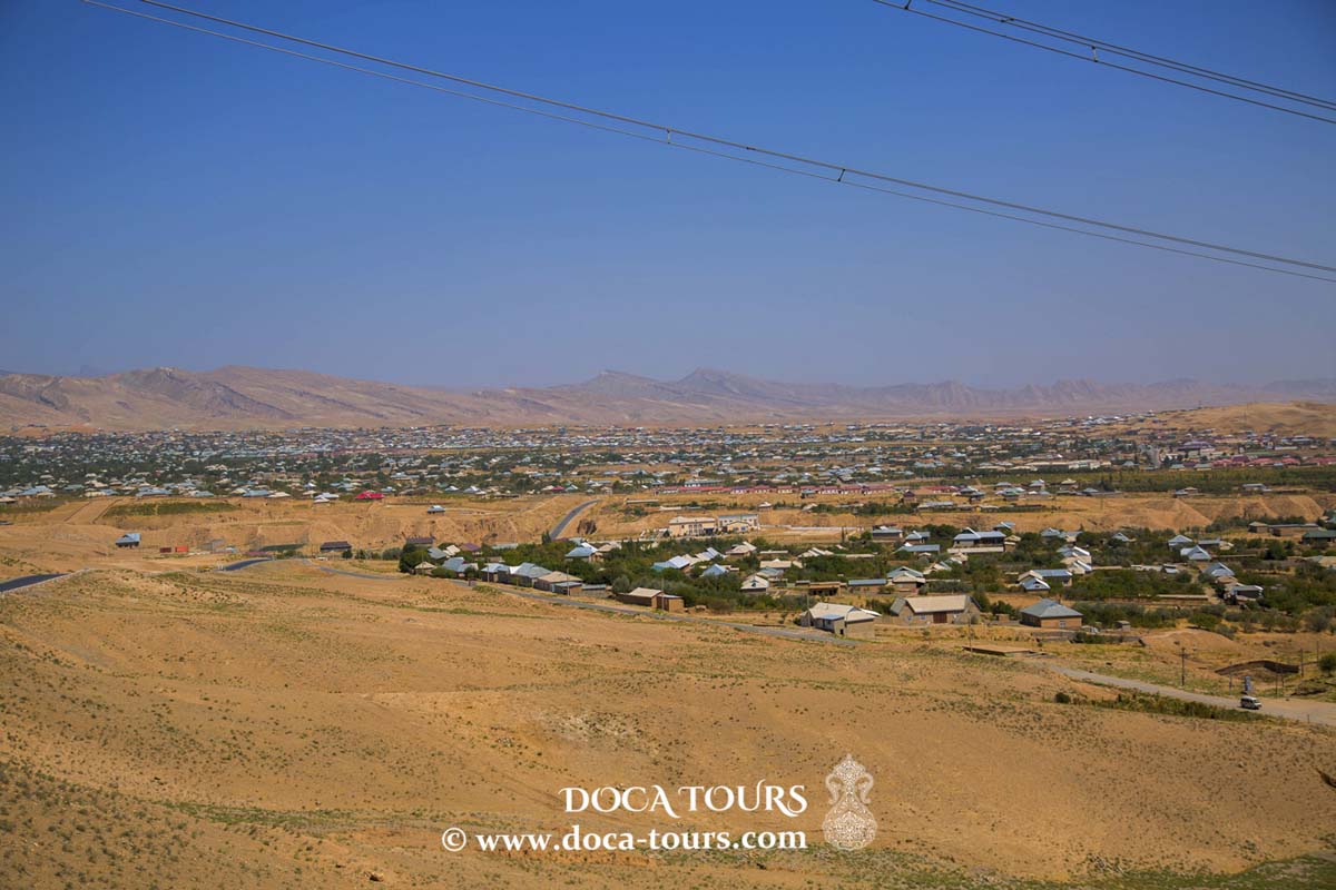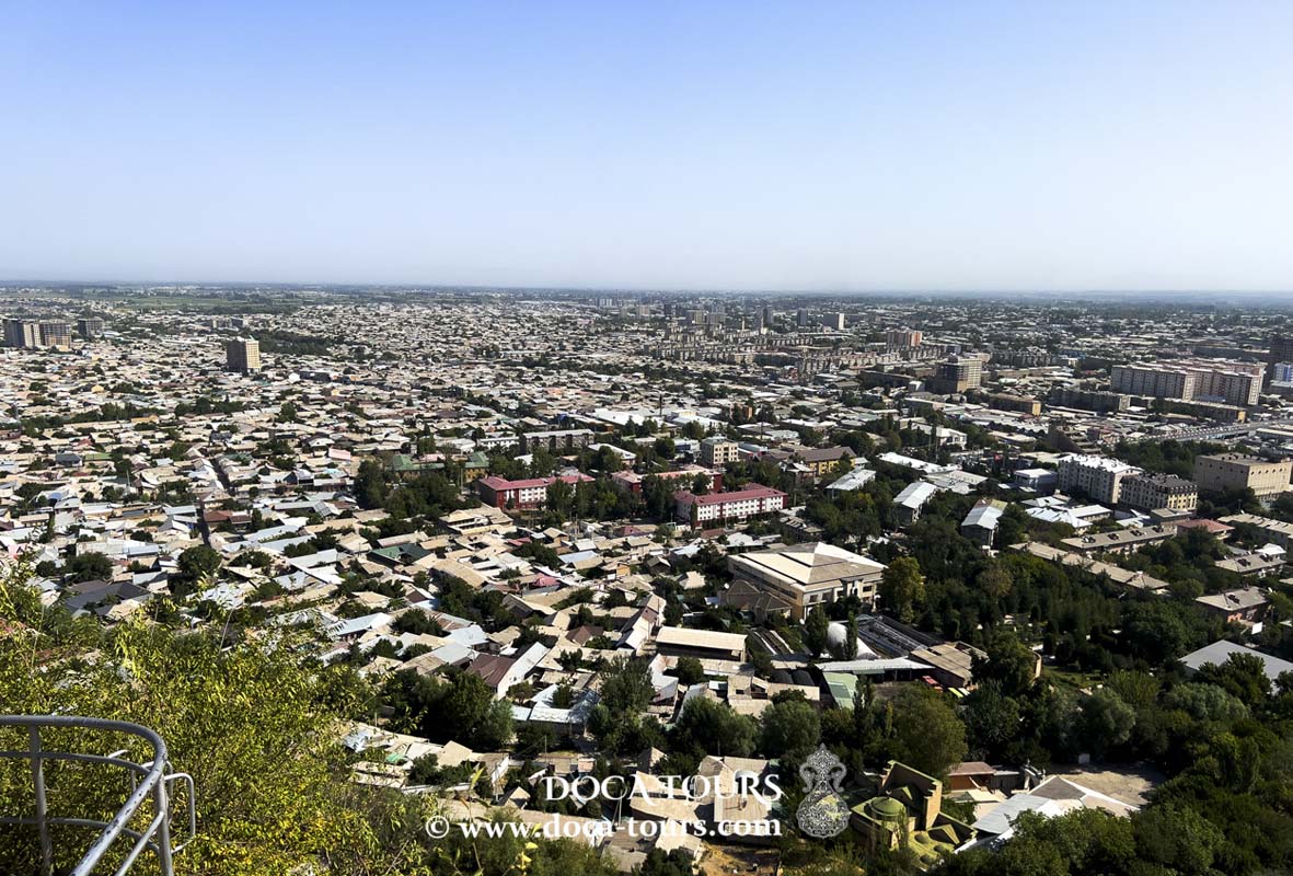
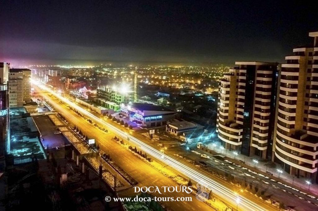
Shymkent is a city in Kazakhstan, located near the border with Uzbekistan. It is one of the three cities in Kazakhstan with the status of a city of republican significance. As of June 1, 2018, it is the third-largest city in Kazakhstan by population, after Almaty and Astana, with an estimated population of 1,002,291 people. Shymkent is a regional cultural center. The city is situated 690 kilometers (430 miles) west of Almaty and 1,483 kilometers (920 miles) south of Astana. It is also located 120 kilometers (75 miles) north of Tashkent, Uzbekistan.

The name Chimkent is derived from two Sogdian words: chim (meaning "grass") and kent (or kand) (meaning "city")—similar to the name of the nearby city of Tashkent. Therefore, it literally means "city in the grass." After Kazakhstan gained independence in 1993, the spelling was changed to Shymkent as part of a government initiative to assign Kazakh names to cities. The official spelling of Shymkent, as enshrined in the Constitution of Kazakhstan, conflicts with the original Uzbek orthography rules, where the letter "ы" (y) never follows "ш" (sh). In the original Uzbek spelling, there is no letter "ы," and what is written as "sh" in Kazakh is written as "ch" in Uzbek. As a result, the new name Shymkent (Shymkent) is used only in Kazakhstan, while other countries continue to use the original spelling, Chimkent (Chimkent).
Shymkent (formerly Chimkent) was founded in the 12th century as a caravanserai to protect the nearby trade city of Sairam, located 10 km to the east, along the Silk Road. The city grew as a market center for trade between the nomadic Turkic peoples and the settled Sogdians. Shymkent was destroyed several times: by Genghis Khan, soldiers from the southern khanates, and nomadic raids. In the early 19th century, it became part of the Kokand Khanate, before being captured by the Russians in 1864. The city was renamed Chernyaev in 1914 and changed to Chimkent in 1924. After the Russian conquest, Shymkent served as a trade hub between the nomadic Turkic tribes and settled Turkic peoples, and it became famous for its kumis (fermented mare's milk). In the 20th century, Shymkent was established as the center for economic development in Southern Kazakhstan, and it saw rapid growth in the second half of the century. Today, the area is home to about 70 factories, plants, and other industrial enterprises.
Settlement in the area of modern Shymkent dates back to the 11th–12th centuries and was inhabited by Uzbeks. There is also a hypothesis about its earlier origins, based on archaeological findings of graves that specialists believe date back to the 5th–6th centuries. The first historical mention of Shymkent appears in the 1425 work Zafername ("Book of Victories") by the Central Asian historian Sharaf ad-Din Yazdi, where he describes the military campaigns of Timur.
Shymkent (Chimkent) has existed as a settlement since the 6th century AD. Its name is associated with the famous traveler Xuanzang, who mentioned it in his notes on Isfijab (Sairam). It is widely believed that the city existed in the 12th century, with this information coming from A. Dobrosmyslov's book Cities of the Syrdarya Region, where he writes: “The name Chimkent comes from the words chim (meaning 'sod') and kent (meaning 'city'). The local residents of Shymkent trace its founding back to the 12th century, referring to the tomb of the saint Baba Dervish, a contemporary of Khoja Ahmed Yasawi.”

In 1914, in honor of the 50th anniversary of Chimkent's incorporation into the Russian Empire, the city was renamed Chernyaev. However, in 1924, Soviet authorities restored its original name. In the 1930s, a lead plant was established in Chimkent, which produced 70% of all lead in the Soviet Union. The city also saw the construction of an oil and fat processing plant, a hosiery factory, and a mirror factory. In 1932, an agricultural aviation base was set up, leading to the establishment and growth of the city's airport. During World War II, several Soviet industrial enterprises were evacuated to Chimkent. Seventeen factories were relocated here due to the proximity of the front line. The city produced tank parts, shells, metal, lead for bullets, optical instruments, and other products. Seven residents of Chimkent were awarded the title of Hero of the Soviet Union. Nearby, there was a Gulag, through which many Russian-speaking people were sent to the region due to imprisonment in the labor camp. In January 2015, officials from Shymkent sent a request to UNESCO to recognize it as an ancient city. Until 2018, Shymkent was the administrative center of South Kazakhstan Province. On June 19, 2018, it was detached from South Kazakhstan and placed under the direct administration of the Kazakh government. As a result, the administrative center of the province was moved to Turkestan, and the province was renamed Turkestan Region.

Shymkent has a humid continental climate, bordering on a Mediterranean climate (Csa). The city experiences hot, dry summers and cold winters. Winters here are notably milder than in northern cities like Almaty and Astana, with the average temperature in the coldest month (January) being around −1 °C (30.2 °F). Snowfall is common in winter, though rain often occurs alongside it. On average, Shymkent receives just under 600 millimeters (23.62 inches) of precipitation annually.
According to a government estimate from 2012, the population of Shymkent was 669,326. In 2009, the population was 603,499 (based on the 2009 census), and in 1999, it was 423,902 (based on the 1999 census). By early 2015, the city expanded to include surrounding areas, increasing the population within the new borders to 858,147. Of this, 711,783 lived within the original city limits. According to local authorities, Shymkent's millionth resident was born on May 17, 2018. By June 1, 2018, the population of Shymkent had reached 1,002,291.
Historically, lead mining dominated the economy, and industrial growth began in the 1930s. In 1934 or 1938, a lead smelting plant was opened in Shymkent. It supplied much of the USSR's demand for metals, copper, lead, and other materials, including three-quarters of the ammunition used by the Red Army. The smelting continued until 2008, resulting in extreme levels of pollution (including lead and cadmium) in the surrounding soil, but controversially resumed in 2010 for a short period under the management of Kazakhmys, a major UK-registered company.
The city also has factories producing refined zinc, processed karakul skins, textiles, food products, and pharmaceuticals. Additionally, Shymkent is home to a medium-sized oil refinery owned and operated by PetroKazakhstan. The city is one of Kazakhstan's leading industrial and economic centers, housing enterprises in non-ferrous metallurgy, machine engineering, chemicals, oil refining, and food industries. The petrochemical and pharmaceutical sectors are represented by companies such as PetroKazakhstan Oil Products (oil refining) and Chimpharm (pharmaceuticals).
Metallurgical products are produced by Southern Polymetall (lead and other products). The machinery sector includes companies such as Kardanval (cardan shafts and joints for vehicles and tractors), Southmash (forging-press machines, spare parts, and equipment), and Electroapparat (power switches and other products). The light industry features businesses like Voskhozh (tailored wool and semi-woolen suits, coats, jackets, etc.), Adal (textiles), and Elastic (high-quality yarn socks). Building materials are produced by Shymkentcement and Kurylis Materials (bricks). Other food production companies include Shymkentmay (sunflower and cottonseed processing, refined vegetable oils), Shymkentpivo (beer), Vizit (soft drinks), and Shymkentsut (dairy products).
Industrial production increased by 15% compared to 2018. Agricultural output rose by 6.3%, housing construction grew by 19.2%, and retail trade expanded by 7.1%. Over the past three years, as part of the Industrial-Innovative Development Program, 24 new enterprises have been established in Shymkent, creating 1,300 permanent jobs. The city now has 2 industrial zones. To date, investments totaling 64 billion tenge have been attracted, 72 projects have been launched, and over 4,000 people have been employed. In February 2021, Shymkent authorities announced plans to launch 123 investment projects worth more than 1.36 trillion tenge ($3.3 billion) over the next five years. These projects are expected to generate around 11,500 jobs for the region.

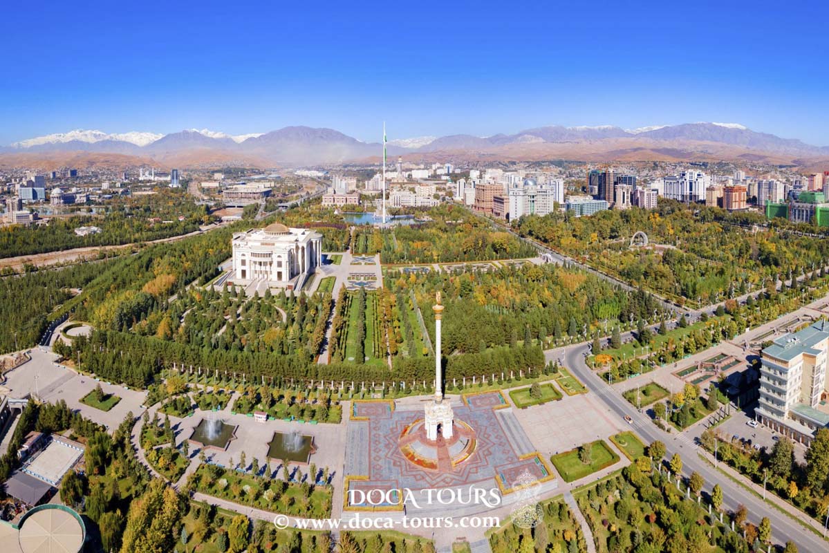
Throughout its 2,200-year history, Shymkent has been influenced by various cultural elements from the civilizations that have controlled it. In 2020, Shymkent was designated the cultural capital of the Commonwealth of Independent States.
Shymkent is a major railway hub on the Turkestan-Siberian Railway. All passenger trains are operated by Kazakhstan Temir Zholy. Express trains utilize the Tulpar Talgo rolling stock. The bus service employs modern Yutong CNG buses, ensuring coverage of nearly every part of the city while also reducing air pollution in the region. Additionally, electric scooters for shared use are available in some parks and public spaces.
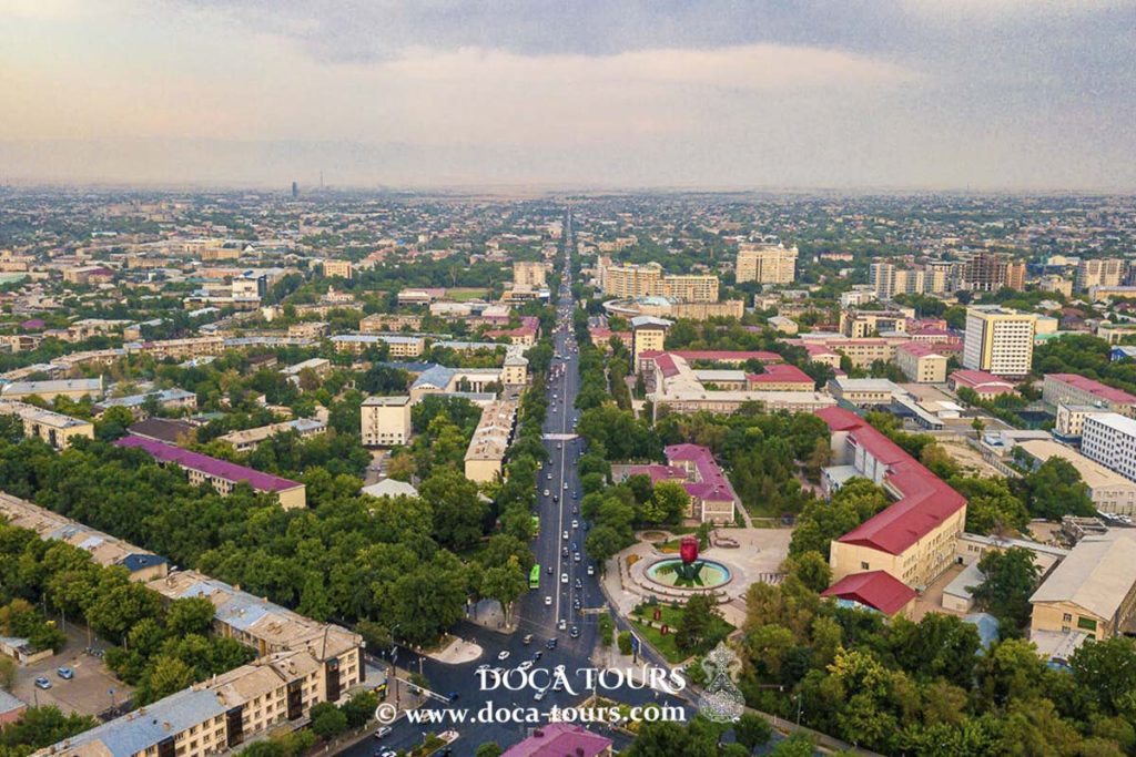
Currently, the city has over two thousand streets, with a total length of 2,135 kilometers of roads. The major routes passing through Shymkent include M32 (leading to Aktobe, Uralsk, and Samara) and A2 (towards Tashkent and Almaty).
Shymkent International Airport, opened in 1932, is located 12 km northwest of the city center. The airport offers flights to all major cities in Kazakhstan as well as international destinations such as Dubai, Moscow, and Istanbul. A smaller airfield near Sayram is primarily used for sports and agricultural flights.
Rues
Avant 1864, le plan de Shymkent était un labyrinthe de rues sinueuses autour de l'ancienne citadelle appelée la "Vieille Ville". Après son intégration à la région de Syrdarya en 1867, la "Nouvelle Ville" a été aménagée avec un plan en grille rectangulaire, délimité par :
Au XIXe siècle, la Place Ordbasy marquait la frontière est de la ville, avec des portes fortifiées menant à Sayram et Taraz. Elle abritait un marché animé, d'où son ancien nom "Place du Bazar".
Aujourd'hui, la place rend hommage à trois sages kazakhs : Tole bi, Kazibek bi et Aiteke bi.
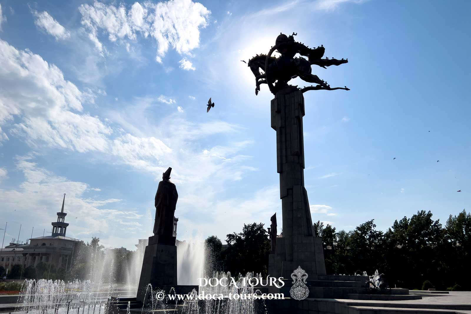
Elle se trouve à la jonction de trois rues, centrée autour de l’impressionnant monument “Zher-ana” :
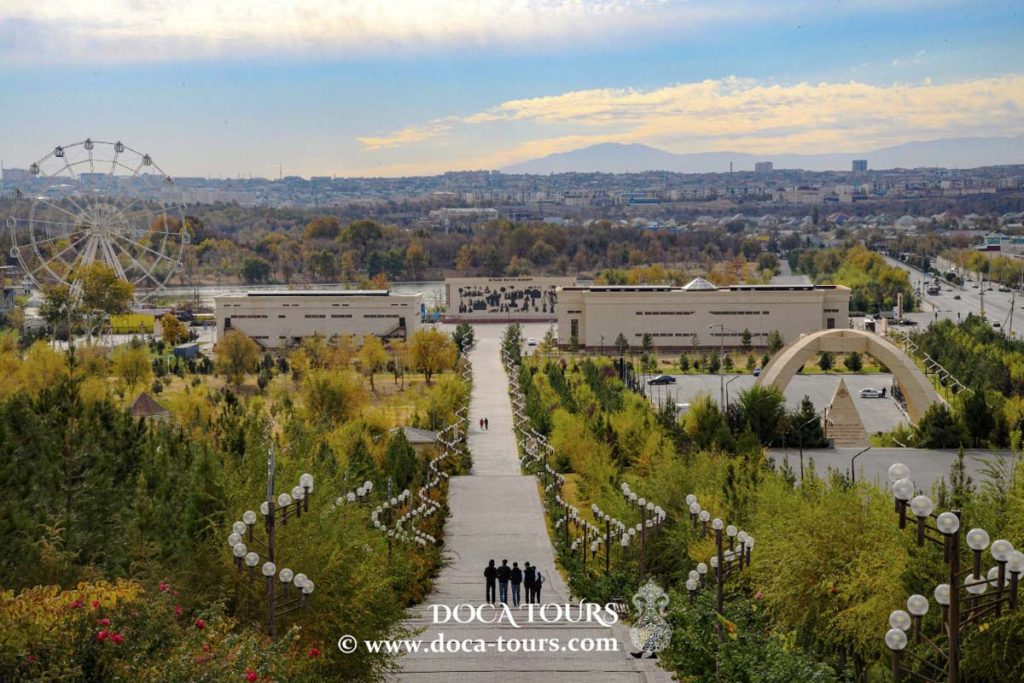
Parc Ken Baba
Autrefois connu sous les noms de Jardin de la Cathédrale, Parc Nikolaïev ou Parc des Enfants, Ken Baba est l’un des plus anciens espaces verts de Shymkent, situé à l’angle des rues Kazibek-bi et Tauke-khan.
Parc Central
Situé à proximité de Ken Baba sur la rue Kazibek-bi, le Parc Central était à l’origine appelé Jardin public de la ville. Il a été créé à la fin du XIXe siècle, en même temps que le Jardin de la Cathédrale.
Dendroparc
Créé en 1980 en périphérie de Shymkent, le Dendroparc est désormais entouré par la ville. Il s’étend sur 150 hectares le long de l’avenue Baydibek-bi et abrite environ 500 000 arbres et arbustes de 1 360 espèces, dont beaucoup sont rares et exotiques.
Équipements :
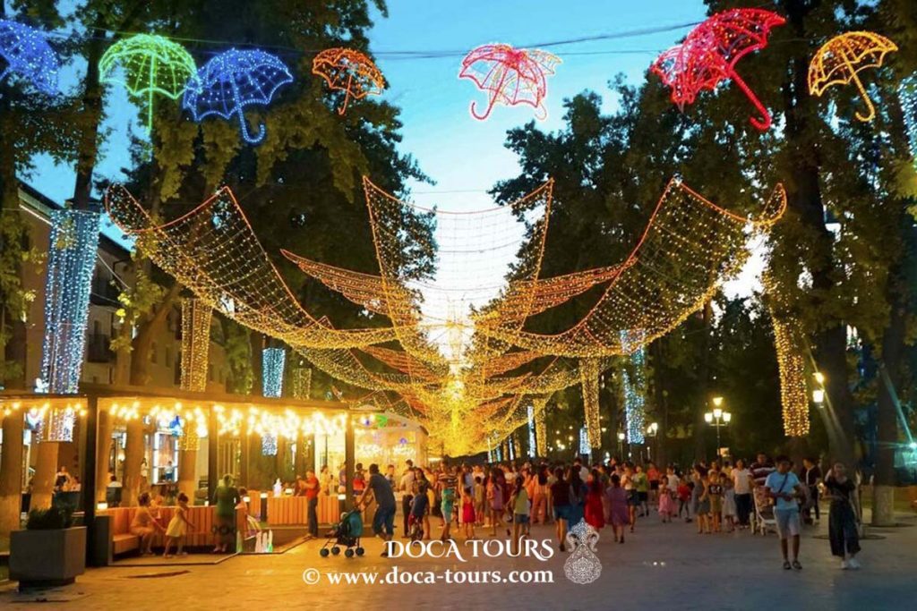
Parc Abai
Situé au cœur de Shymkent, le parc porte le nom du célèbre poète kazakh Abai.
Villes jumelées
Shymkent entretient des partenariats de jumelage favorisant les échanges culturels et la coopération avec les villes suivantes :
Souhaitez-vous ce texte en format Word / PDF, ou intégré dans une présentation PowerPoint ?
Je peux aussi résumer ou adapter selon vos besoins (par exemple, pour une brochure touristique ou un site web).