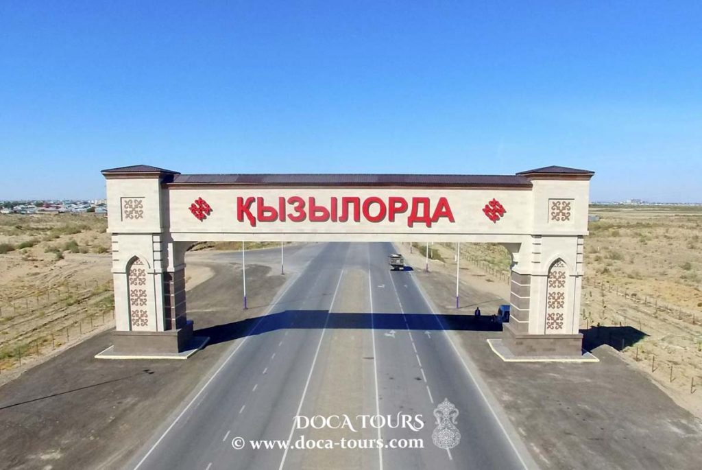
KYZYLORDA
- Geographical coordinates: 44°51′0″N 65°31′0″E
- Former Names: Kamysty, Ak-Mechet, Perovsk, Kzyl-Orda, Kyzyl-Orda
- Elevation: 128 m
- Common Languages: Kazakh, Russian
- Ethnic Groups: Kazakh, Russian
- Population: 239 070 (2019)
- Nationals: Kazakh, Russian, Uzbek, Tatar, Korean
- Time Zone: UTC+5
- Telephone Code: +7 7242
- Postal Codes: 120000
- Vehicle Registration Code: 11
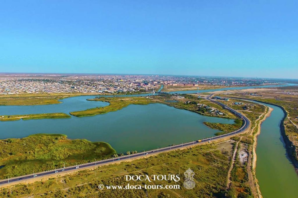
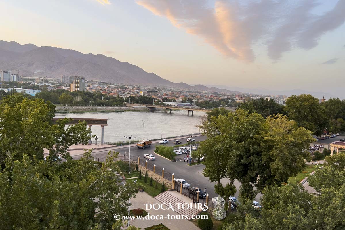
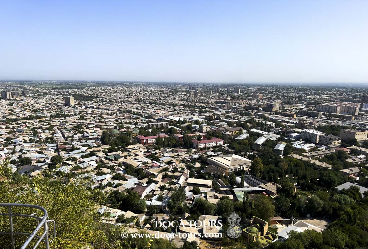
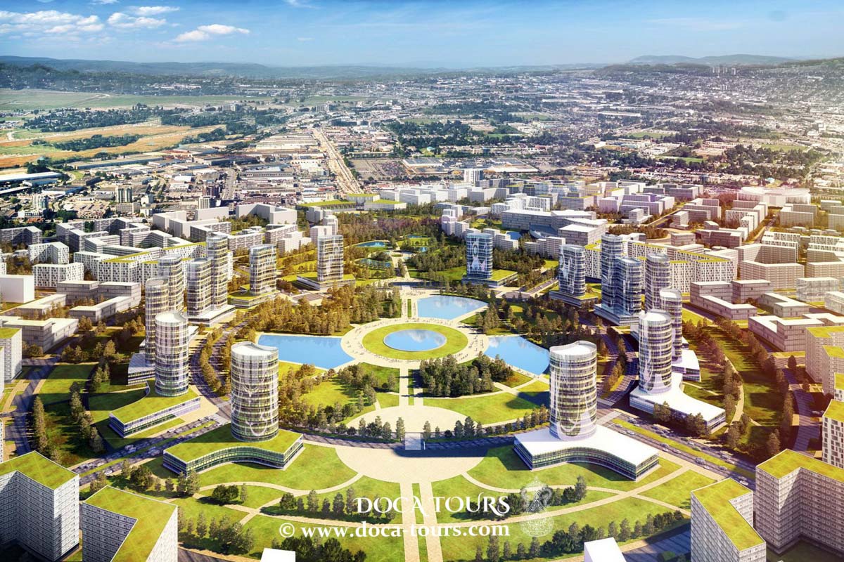
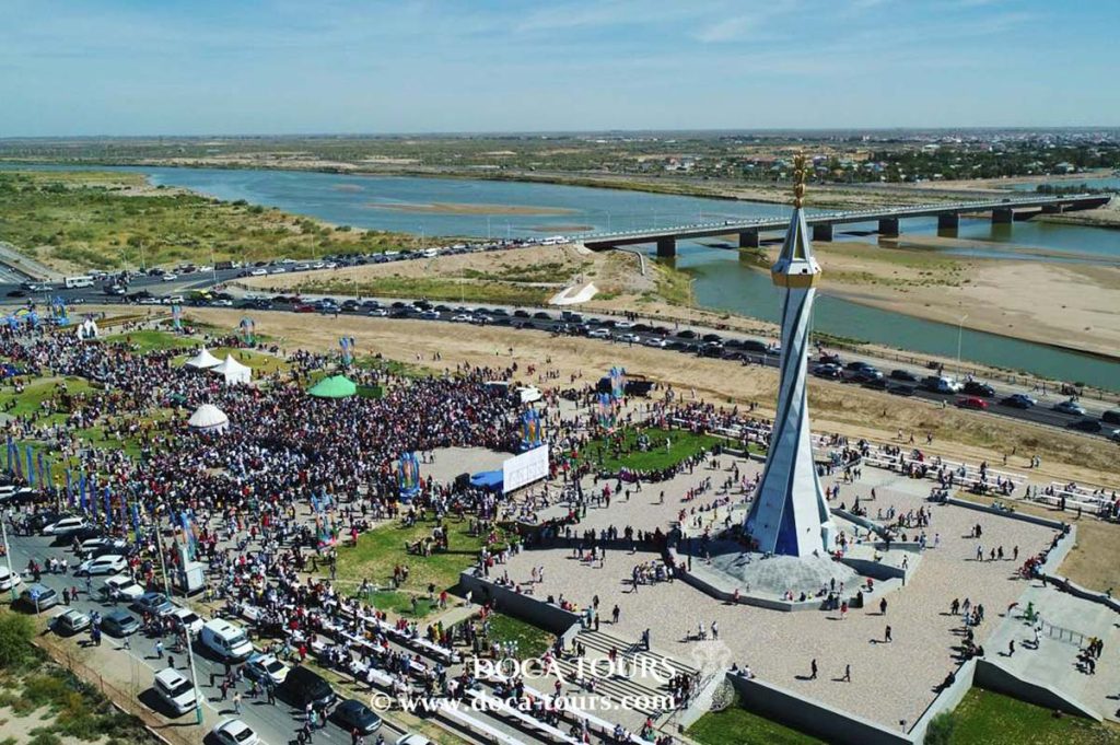
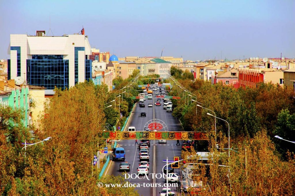
Kyzylorda is a city located in the southeastern-central part of Kazakhstan, serving as the capital of the Kyzylorda Region. It was also the capital of the Kazakh ASSR from 1925 to 1927.

As of the 2020 census, the city's population stands at 242,462. Historically, it developed around the Syr Darya River and was the site of the Kokand Fortress. The combined population of the city and its surrounding villages is 312,861 people (according to the 2020 census).
History
The settlement existed during the time of Seljuk, the founder of the Seljuk dynasty. The modern city was established in 1817 as the location of the Kokand Fortress, also known as Ak-Mechet, or the White Mosque. Later, the renowned Yakub-Bek, who was once the commander of the fortress, did not lead during the final battle. In 1853, during the Russian conquest of Turkestan, the fortress was captured by Russian forces under the command of General Vasily Perovsky. The Russians built a new fortress, naming it Fort Perovsky in honor of the general.
The city of Perovsk in Russian Turkestan later grew around the fortress. In 1925, it was renamed Kyzylorda and became the capital of the Kazakh ASSR. The name means "red city," derived from the Turkic word "kzyl" (red, used here in the Soviet ideological context) and the Turkic-Mongolian word "orda" (city). In 1927, the capital was moved to the southeastern region and Almaty.
"Kyzylorda," based on the Kazakh Romanized spelling, has been in use since the late 20th century, following the dissolution of the Soviet Union and Kazakhstan's independence in 1991.
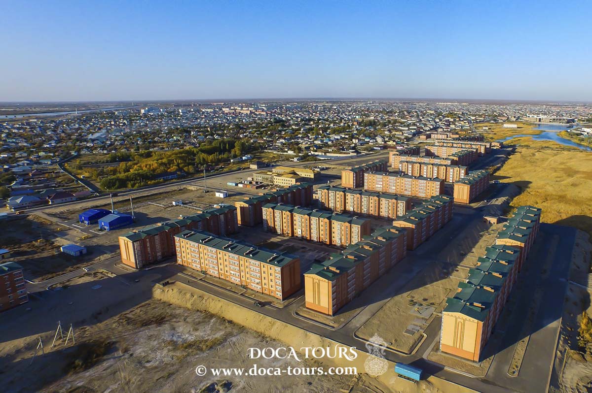
After gaining independence, many of the former residential buildings, which were used as dormitories during Soviet rule due to the lack of sewer systems for internal plumbing, were reconstructed into several multi-story buildings. In an April 2018 report by Radio Free Europe, it was stated that the government of Kazakhstan plans to modernize the Soviet-era buildings.
Climate
Kyzylorda experiences a cold desert climate (Köppen classification BWk), characterized by hot summers and cold winters. Precipitation is low throughout the year, especially during the summer months. Snowfall is frequent but light in winter. The lowest recorded temperature in history was −36.1°C (−33.0°F), measured in February 1969, while the former highest temperature was 46.0°C (114.8°F), recorded on July 7, 1975. The current record-high temperature is 46.5°C (115.7°F), registered on July 7, 2021.
Agriculture
Kyzylorda is known for its rice production. Large areas, spanning hundreds of hectares, are dedicated to growing rice. The city is home to two rice mills.
Education
Korkyt Ata Kyzylorda State University (KSU) is a leading educational, scientific, and cultural institution in the Aral region of Kazakhstan. Established in 1950, the university offers training for highly qualified specialists in 54 fields across 11 faculties.
Transport
Kyzylorda has one airport, which has developed as a key supply hub for the important oil fields in the nearby Turgaï basin.
Tourism
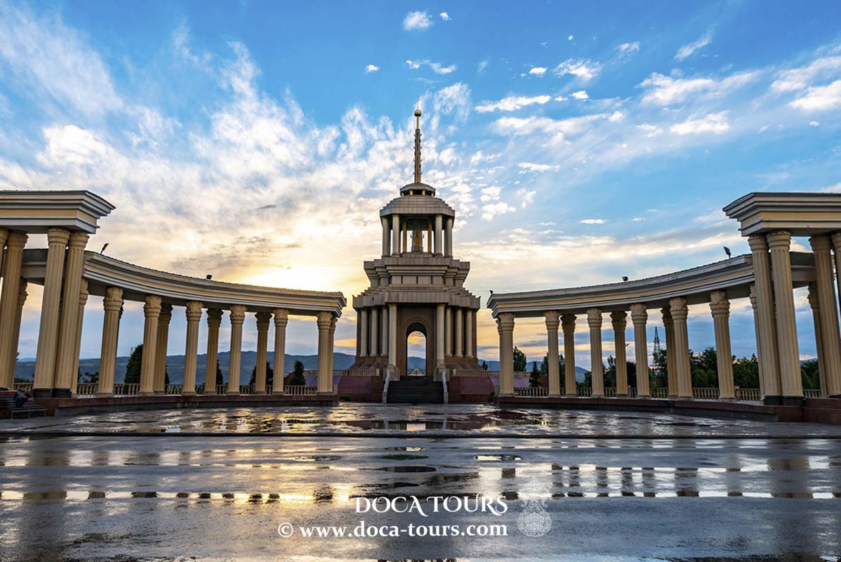
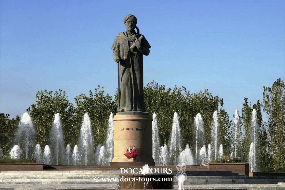
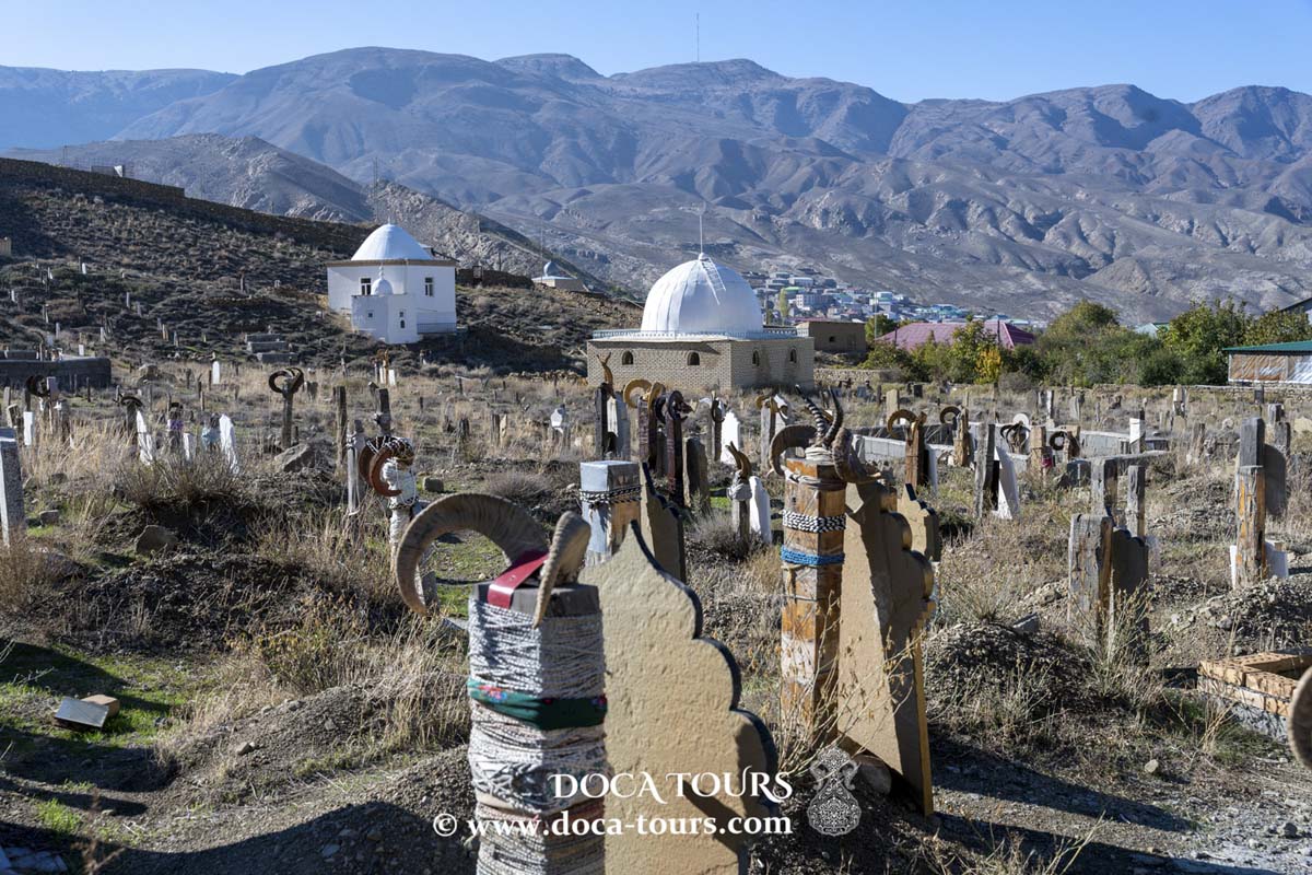
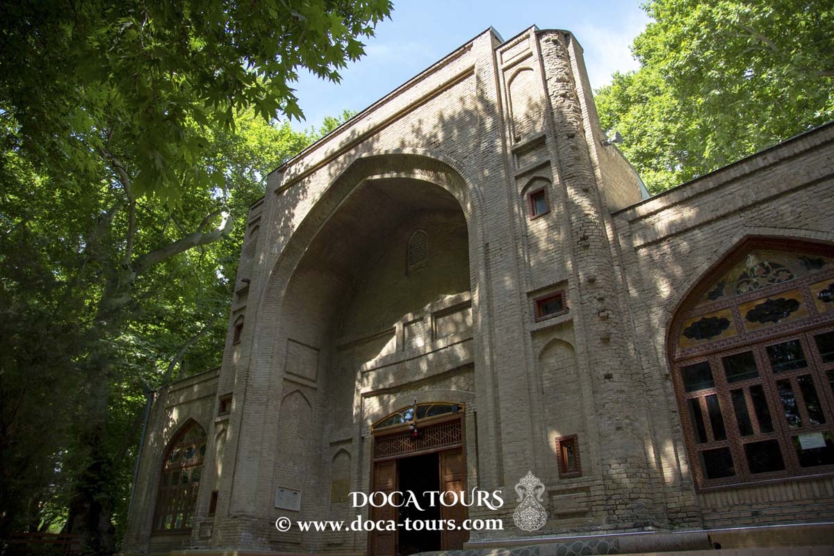
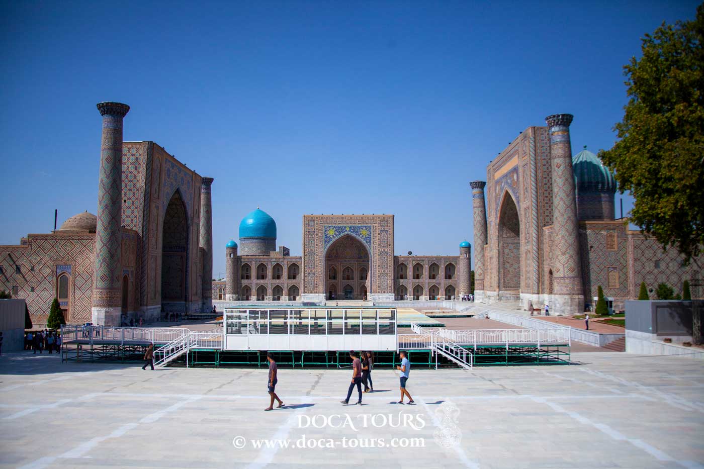
Tourist attractions in the Kyzylorda region include the vanished Aral Sea, the Baikonur Cosmodrome, archaeological sites in Sayran and Shyganak, the Korkyt Ata Memorial Complex, and several ancient mausoleums.
Sister Cities
Kyzylorda has sister city relationships with:
- Arvada, USA
- Bolu, Turkey
- Bursa, Turkey

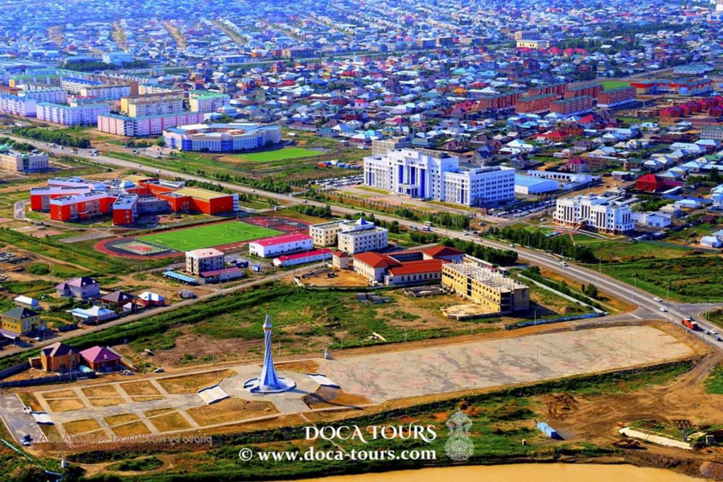 As of the 2020 census, the city's population stands at 242,462. Historically, it developed around the Syr Darya River and was the site of the Kokand Fortress. The combined population of the city and its surrounding villages is 312,861 people (according to the 2020 census).
 The city of Perovsk in Russian Turkestan later grew around the fortress. In 1925, it was renamed Kyzylorda and became the capital of the Kazakh ASSR. The name means "red city," derived from the Turkic word "kzyl" (red, used here in the Soviet ideological context) and the Turkic-Mongolian word "orda" (city). In 1927, the capital was moved to the southeastern region and Almaty.
"Kyzylorda," based on the Kazakh Romanized spelling, has been in use since the late 20th century, following the dissolution of the Soviet Union and Kazakhstan's independence in 1991.
The city of Perovsk in Russian Turkestan later grew around the fortress. In 1925, it was renamed Kyzylorda and became the capital of the Kazakh ASSR. The name means "red city," derived from the Turkic word "kzyl" (red, used here in the Soviet ideological context) and the Turkic-Mongolian word "orda" (city). In 1927, the capital was moved to the southeastern region and Almaty.
"Kyzylorda," based on the Kazakh Romanized spelling, has been in use since the late 20th century, following the dissolution of the Soviet Union and Kazakhstan's independence in 1991.
 After gaining independence, many of the former residential buildings, which were used as dormitories during Soviet rule due to the lack of sewer systems for internal plumbing, were reconstructed into several multi-story buildings. In an April 2018 report by Radio Free Europe, it was stated that the government of Kazakhstan plans to modernize the Soviet-era buildings.