SHAKHRISABZ
- Geographical coordinates: 39°03′N 66°50′E
- Elevation: 632 m
- Former names: Kesh, Nautaka
- Popular languages: Uzbek, Tajik, Russian
- Official language: Uzbek
- Population: 140 500 (2021)
- Nationals: Uzbek, Tajik, Russian
- Time Zone: UTC+5
- Telephone Code: +998 7552
- Postal Codes: 1813XX
- Vehicle Registration Code: 70-74
Shahrisabz, a district-level city in Uzbekistan's Qashqadaryo Region, holds historical and cultural significance in Central Asia. The Economic Cooperation Organization (ECO) has designated Shahrisabz as its tourism capital for 2024.
Situated approximately 80 kilometers south of Samarkand at an altitude of 622 meters, Shahrisabz has a population of 140,500 as of 2021. Historically known as Kesh or Kish, this city was a key urban center in Sogdiana, a province of the Achaemenid Empire, and is renowned as the birthplace of the 14th-century conqueror Timur.

Historical Background
Ancient Origins
Shahrisabz, one of the oldest cities in Central Asia, traces its origins back over 2,700 years. Known historically as Kesh or Kish, meaning "heart-pleasing," it is tentatively identified with the ancient Nautaca. During the 6th to 4th centuries BCE, Kesh was a crucial part of the Persian Achaemenid Empire and a prominent urban center in Sogdiana. Notable records from this period detail the city's fortification efforts.
Alexander the Great’s forces captured Bessus, a Persian satrap, in this region, marking the end of the Achaemenid Empire. Alexander also spent winters here and married Roxana in 328–327 BCE.
Turkic Influence (6th–8th Centuries)
From the 6th to 8th centuries, Kesh was part of the Turkic and West Turkic Kaganates. Turk Subugra, the malik of Kesh, ruled during this time. Administrative reforms under Ton-Yabgu Kagan expanded the Kaganate's reach to modern-day Afghanistan and northwestern India. Turkic tribes like the Khalaj played a significant role, while Tengri, the sky god, was central to their spiritual beliefs.
Arab Conquest and Resistance
Kesh fell to Arab forces in the 8th century, becoming a focal point for anti-Arab resistance led by Al-Muqanna during the "Revolt of the Men in White Clothes." Despite its decline during this era, Kesh transitioned into the Barknon region during the Samanid dynasty.
Karakhanid and Later Eras
In 1038, Ibrahim ibn Nasr, known as Böritigin, seized Kesh, marking its integration into the Karakhanid state. Under the Karakhanids, the city flourished as a center of Turkic culture and Islamic scholarship. The 11th-century scholar Mahmud Kashgari advanced Turkic linguistics, and the first Quranic commentary in Turkic was created.
By the early 13th century, during the Khwarazmshah period, Kesh—now Shahrisabz—was fortified with defensive walls, cementing its importance as a medieval city.
Modern History of Shahrisabz
During World War II in 1942, Shahrisabz became a temporary base for the Polish Anders' Army, specifically the 6th Infantry Division, before its relocation to fight against Nazi Germany. A Polish military cemetery remains in the city as a testament to this period.
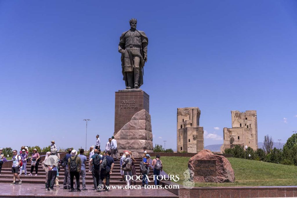
Timur’s Birthplace and Legacy
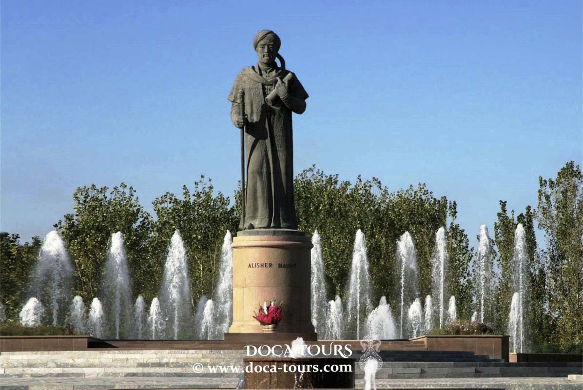
Shahrisabz, historically known as Kesh, holds great significance as the birthplace of Timur (Tamerlane) in 1336. Born into the family of a minor local Barlas chief, Timur regarded Kesh as his homeland. Under his patronage during the Timurid dynasty, the city experienced a cultural and architectural renaissance. Although Timur initially intended to make Kesh his final resting place, the center of his empire shifted to Samarkand during his reign. Nevertheless, Shahrisabz became home to remarkable architectural masterpieces, such as the Ak-Saray Palace and the Dorus-Saodat Memorial Complex.
In later years, the city struggled for autonomy under Bukharan rule, ultimately falling to the Bukharan emir in 1870 with Russian support.
- Historical Sites
- Ak-Saray Palace
Known as Timur’s Summer Palace or the “White Palace,” Ak-Saray was envisioned as his most magnificent construction. Work on the palace began in 1380, using artisans deported from Khwarezm. Today, only parts of the grand 65-meter gate-towers remain, adorned with stunning mosaics in shades of blue, gold, and white. An inscription on the gateway proclaims, "If you challenge our power – look at our buildings!"
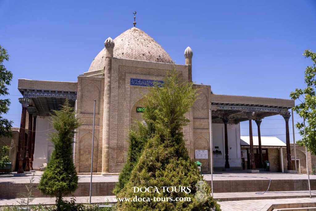
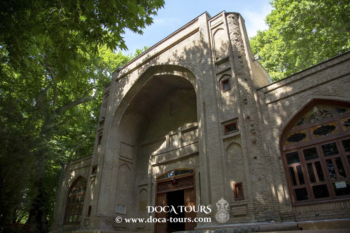
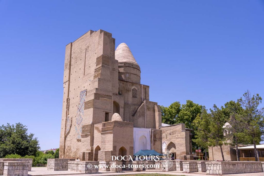
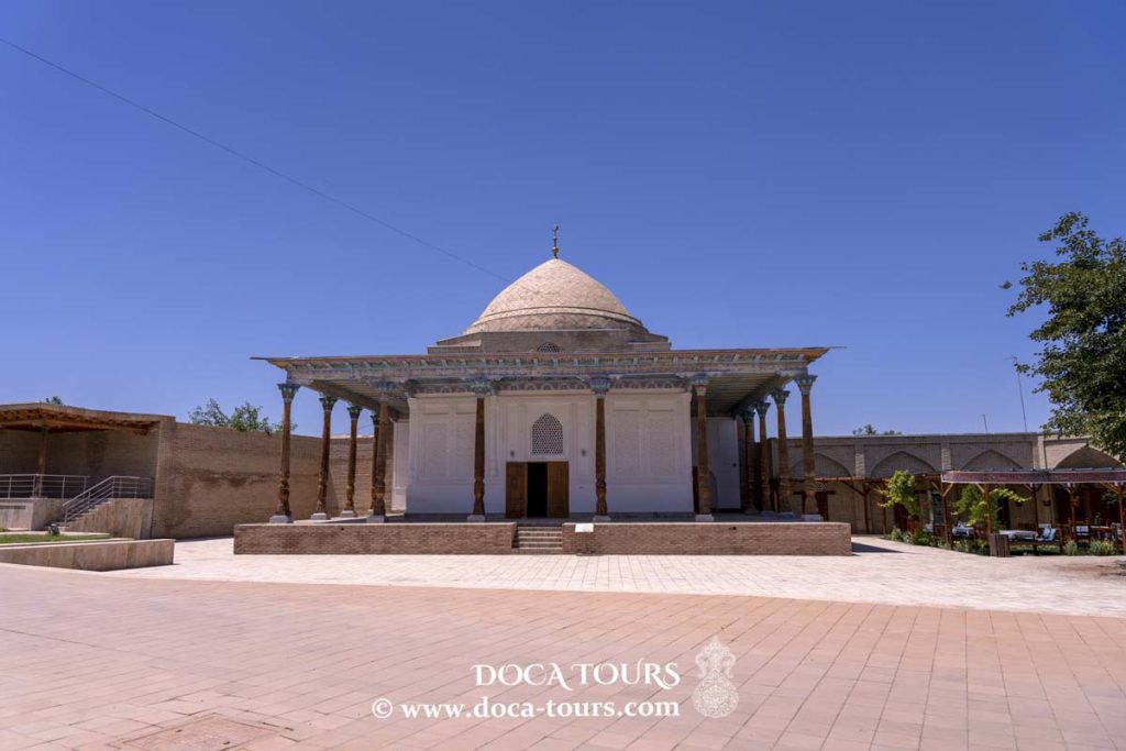
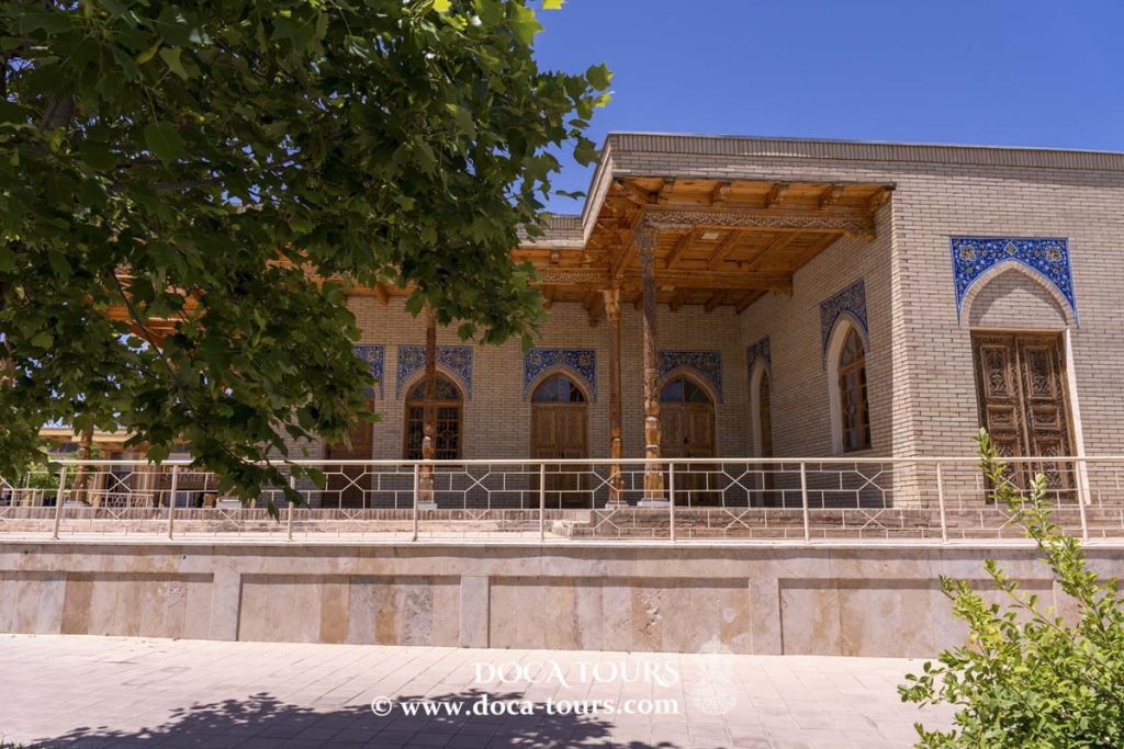
Kok Gumbaz Mosque and Dorut Tilovat Complex
The Kok Gumbaz Mosque, also called the “Blue Dome,” was built in 1437 by Ulugh Beg in honor of his father, Shah Rukh. Behind the mosque lies the “House of Meditation,” a mausoleum constructed in 1438 by Ulugh Beg, though it was never used for burials.
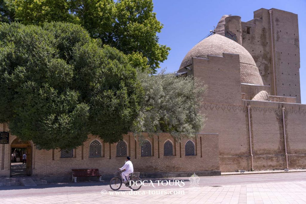
Hazrat-i Imam Complex and Tomb of Timur
The Hazrat-i Imam Complex, located east of Kok Gumbaz, features the Dorus-Saodat Mausoleum, housing the Tomb of Jehangir, Timur’s eldest son. A nearby mosque is said to contain the tomb of 8th-century imam Amir Kulal.
Interestingly, Timur’s intended burial site lies within this complex, marked by a stone casket discovered in 1943. However, Timur’s remains rest in Samarkand, and the tomb in Shahrisabz contains two unidentified corpses, adding an air of mystery to the site.
Other attractions include medieval baths, an 18th-century bazaar, and the Shahrisabz Museum of History and Material Culture.
- Archaeological Highlights near Shahrisabz
- Nautaka (Ancient Capital)
The remnants of Nautaka, identified with the modern Shahrisabz area, span several key sites.
Padayaktepa: This citadel, located along the Shurabsay River, dates back to the 9th–8th centuries BCE. Archaeological findings include defensive walls from Achaemenid and Hellenistic periods, hinting at the aristocratic section of Nautaka, akin to Afrasiab in Samarkand. After Alexander the Great’s era, the acropolis of Padayaktepa remained inhabited, while the city relocated to the Aksu River banks.
Uzunkyr: This fortified wall once enclosed a 70-hectare settlement. Constructed with raw adobe bricks in the 10th–9th centuries BCE, it underwent significant repairs during the Achaemenid, Seleucid, and Greco-Bactrian periods.
Sangirtepa: A separate hill outside the city walls, Sangirtepa features a Zoroastrian temple uncovered by archaeologists in the 1980s. The site includes a central hall, an altar, and auxiliary rooms, making it one of the oldest religious structures in Central Asia.
These archaeological discoveries provide a glimpse into the ancient cultural and religious life of the region, solidifying Shahrisabz’s historical importance.
Geography
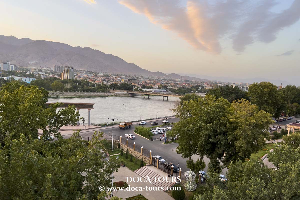
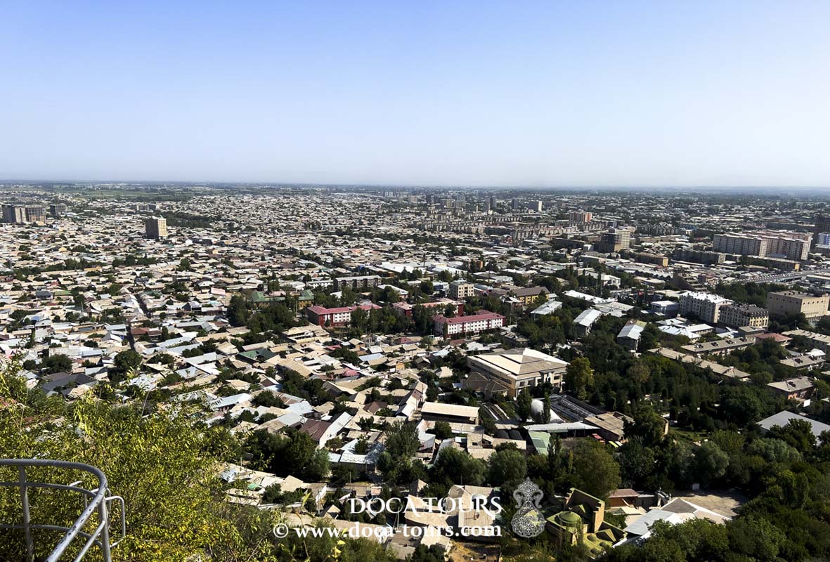
The city of Shahrisabz is located in the northeastern part of the Kashkadarya Region (vilayat) of Uzbekistan. It lies 90 km east of the regional center, Karshi, and 65 km south of Samarkand. The distance to the border with Tajikistan is over 80 km, while Tashkent lies more than 360 km to the northeast, and Bukhara is over 240 km to the northwest.
Shahrisabz is situated in the valley of the same name, surrounded on the north, south, and east by the Zarafshan Range, part of the Gissar-Alay mountain system. To the west lies the Shahrisabz Valley, often referred to as an oasis, which connects with the Kashkadarya Oasis, home to the major cities of the region.
Northeast of Shahrisabz is its satellite city, Kitab, which serves as the administrative center of the Kitab District (tumon).
Administrative Division
As of 2018, the population of Shahrisabz exceeds 116,000, comprising nearly half of the total population of the Shahrisabz District. Among the settlements under its jurisdiction is the town of Oktyabr, which had a population of 18,000 as of 1994. Located in the Shahrisabz Oasis along the Great Uzbek Highway, Oktyabr serves as the terminus for the railway line (122 km) extending from Karshi. The town is home to cotton processing, winemaking, and fruit-canning factories.
Population
The majority of the population in Shahrisabz are Uzbeks. The city also hosts smaller communities of Tajiks, Central Asian Arabs, Tatars, Russians, Ukrainians, and other ethnic groups.
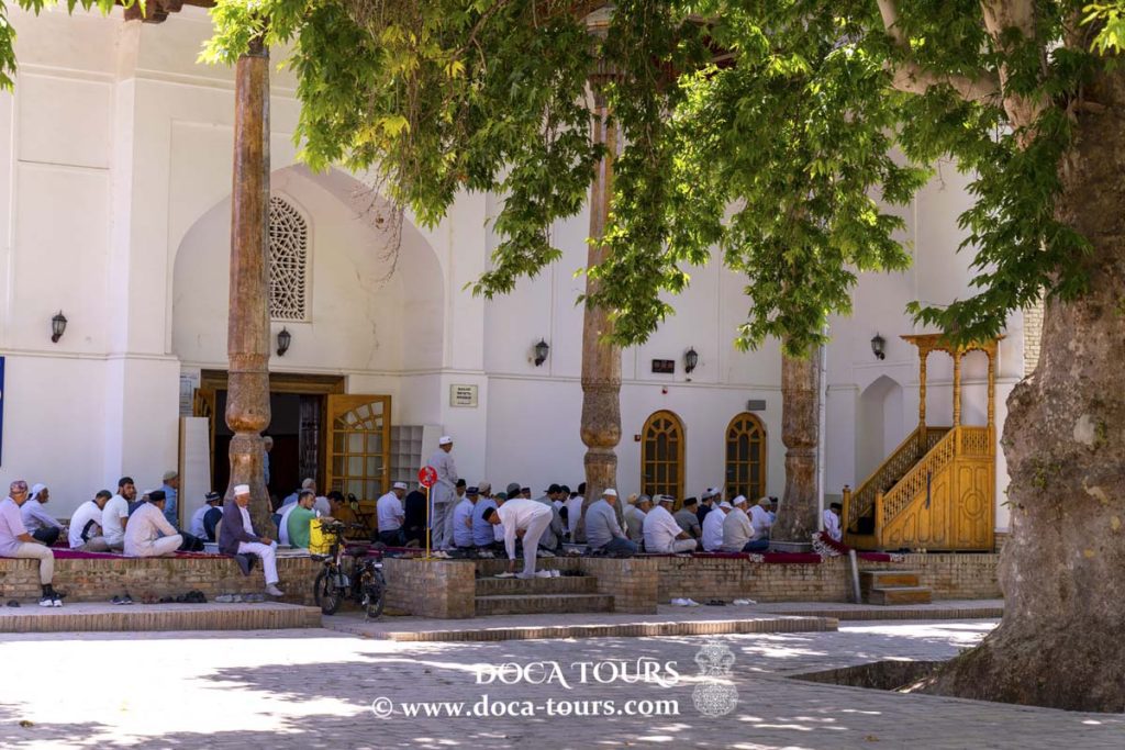
In terms of religion, Sunni Islam predominates, though there are also Christian communities present in the city.
Economy
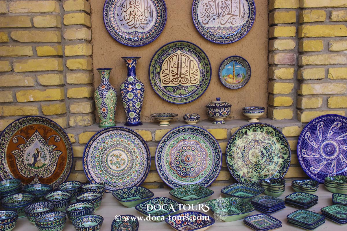
The economy of Shahrisabz primarily revolves around processing agricultural raw materials, including cotton refining and canning. Traditional crafts and artisanal trades are also well-developed in the region.
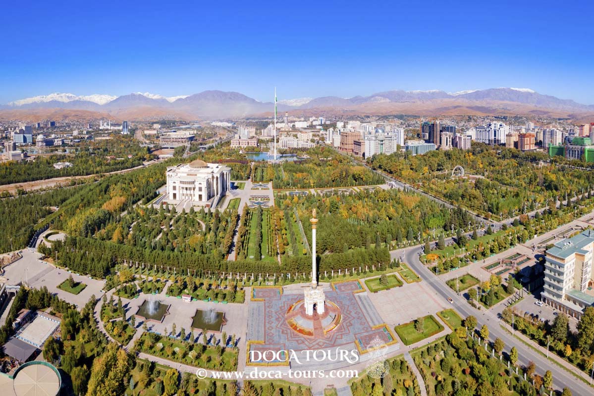
Panorama of the City Center and Archaeological Landmarks
Archaeological Monuments
North of the village of Kumyrtepa in the Kitab District, along the left bank of the Shurabsay River—fed by the Zarafshan Mountains—lie three hills of varying shapes, collectively forming parts of the ancient capital city of Nautaka: Padayaktepa, Uzunkyr, and Sangirtepa.
In the mid-1980s, these archaeological sites in the Shurabsay micro-oasis, located within a 5-km radius, were surveyed for the first time by N.I. Krasheninnikova, a member of the Kesh Archaeological and Topographical Expedition (KATE). These three hills were identified as the citadel, the city proper, and the temple of Nautaka.
Padayaktepa
The citadel of Nautaka spans an area of 270×74 meters and is situated on a high, steep bank of the Shurabsay River. Archaeological excavations have revealed four distinct construction layers, with the oldest cultural strata dating back to the 9th–8th centuries BCE.
In the western part of the site, remains of a defensive wall from the Achaemenid and Hellenistic periods were uncovered. These fortifications suggest that Nautaka, like Afrasiab in Samarkand, featured an aristocratic district surrounded by its own wall—a kind of acropolis. Following the end of Alexander the Great’s rule, the city was largely abandoned, with only the Padayaktepa acropolis remaining inhabited. A new city eventually emerged on the high right bank of the Aksu River, on the site of the Kalandartepa settlement, within the boundaries of modern Kitab.
Uzunkyr
The remnants of the city’s fortification wall can be observed as a low mound near the village of Kumyrtepa, measuring over 650 meters in length and 20 meters in width. At its peak, the wall surrounded a city spanning more than 70 hectares. The original wall, built from raw adobe bricks typical of the 10th–9th centuries BCE, is similar to those of ancient Sogdian cities like Koktepa and Afrasiab. During the reigns of the Achaemenid, Seleucid, and Greco-Bactrian empires, significant repairs were made to these walls.
Sangirtepa
Located 650 meters southwest of Uzunkyr, Sangirtepa is a standalone hill encompassing a central area of 84×62 meters and rising about 8 meters high. The site is encircled by a wall enclosing an area of approximately 3 hectares.
Since 1983, archaeologists from Tashkent State University (now the National University of Uzbekistan) have been excavating Sangirtepa. These efforts uncovered a unique Zoroastrian temple, featuring a central hall, an altar, and auxiliary rooms. This temple is considered one of the oldest religious structures in Central Asia.
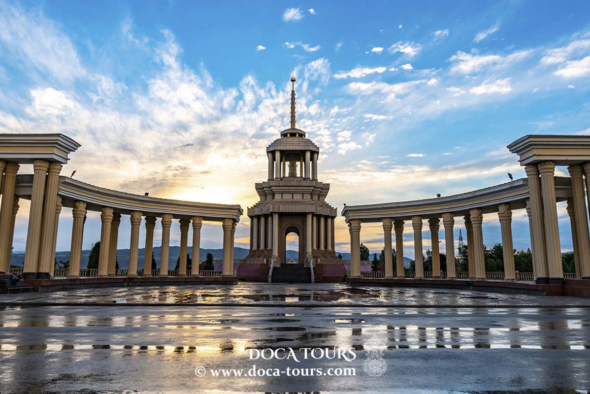
Landmarks
In 2000, the historic center of the city, along with its archaeological, architectural, religious, and cultural monuments, was inscribed on the UNESCO World Heritage List under the name "Historic Center of Shakhrisabz."
The most notable landmarks of Shakhrisabz include:
- The ruins of Timur’s palace, Ak-Saray;
- The Dorut-Tilavat memorial complex, which consists of:
- The Mausoleum of Sheikh Shams al-Din Kulal al-Keshi (also the burial site of Timur’s father, Amir Turagay);
- The Mausoleum of Gumbazi-Seyidan (Dome of the Seyids);
- Kok-Gumbaz Mosque (Blue Dome);
- The remnants of the Timurid dynastic mausoleum Dorus-Saodat, including Timur’s crypt (though Timur himself is buried in the Gur-Emir Mausoleum in Samarkand);
- The bust of Soviet Hero Shadi Shaimov (a street in the city is named in his honor).
Twin Cities
Beylagan 2024 Azerbaijan


 Padayaktepa: This citadel, located along the Shurabsay River, dates back to the 9th–8th centuries BCE. Archaeological findings include defensive walls from Achaemenid and Hellenistic periods, hinting at the aristocratic section of Nautaka, akin to Afrasiab in Samarkand. After Alexander the Great’s era, the acropolis of Padayaktepa remained inhabited, while the city relocated to the Aksu River banks.
Uzunkyr: This fortified wall once enclosed a 70-hectare settlement. Constructed with raw adobe bricks in the 10th–9th centuries BCE, it underwent significant repairs during the Achaemenid, Seleucid, and Greco-Bactrian periods.
Sangirtepa: A separate hill outside the city walls, Sangirtepa features a Zoroastrian temple uncovered by archaeologists in the 1980s. The site includes a central hall, an altar, and auxiliary rooms, making it one of the oldest religious structures in Central Asia.
These archaeological discoveries provide a glimpse into the ancient cultural and religious life of the region, solidifying Shahrisabz’s historical importance.
Padayaktepa: This citadel, located along the Shurabsay River, dates back to the 9th–8th centuries BCE. Archaeological findings include defensive walls from Achaemenid and Hellenistic periods, hinting at the aristocratic section of Nautaka, akin to Afrasiab in Samarkand. After Alexander the Great’s era, the acropolis of Padayaktepa remained inhabited, while the city relocated to the Aksu River banks.
Uzunkyr: This fortified wall once enclosed a 70-hectare settlement. Constructed with raw adobe bricks in the 10th–9th centuries BCE, it underwent significant repairs during the Achaemenid, Seleucid, and Greco-Bactrian periods.
Sangirtepa: A separate hill outside the city walls, Sangirtepa features a Zoroastrian temple uncovered by archaeologists in the 1980s. The site includes a central hall, an altar, and auxiliary rooms, making it one of the oldest religious structures in Central Asia.
These archaeological discoveries provide a glimpse into the ancient cultural and religious life of the region, solidifying Shahrisabz’s historical importance.
 In the western part of the site, remains of a defensive wall from the Achaemenid and Hellenistic periods were uncovered. These fortifications suggest that Nautaka, like Afrasiab in Samarkand, featured an aristocratic district surrounded by its own wall—a kind of acropolis. Following the end of Alexander the Great’s rule, the city was largely abandoned, with only the Padayaktepa acropolis remaining inhabited. A new city eventually emerged on the high right bank of the Aksu River, on the site of the Kalandartepa settlement, within the boundaries of modern Kitab.