AKTOBE
- Geographical coordinates: 50°17′0″N 57°10′0″E
- Former Names: Ak-Tube, Aktyubinsk
- Elevation: 219 meters
- Common Languages: Kazakh, Russian
- Ethnic Groups: Kazakh, Russian, Ukraine, Tatar
- Population: 500 803 (2020)
- Time Zone: UTC+5
- Telephone Code: +7 (7132)
- Postal Codes: 1300XX
- Vehicle Registration Code: 04
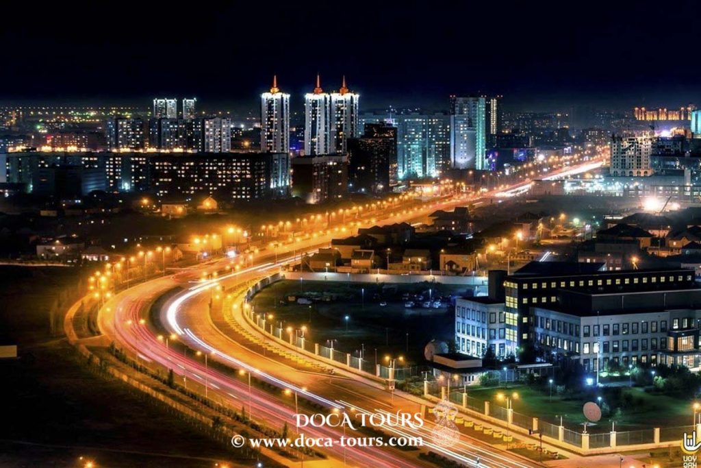
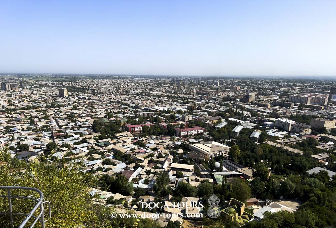
Aktobe is a city located on the Ilek River in Kazakhstan and serves as the administrative center of the Aktobe region. In 2023, the city's population was 560 820 people.
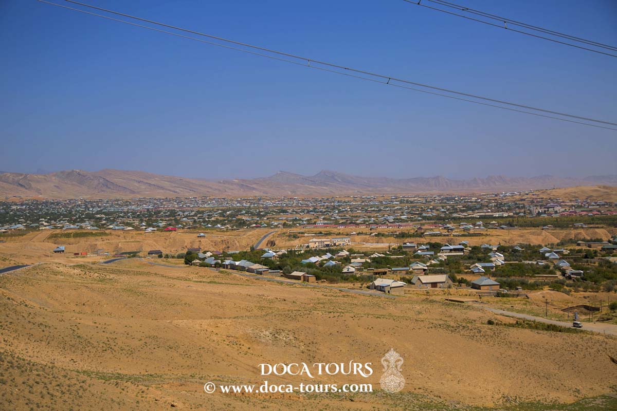
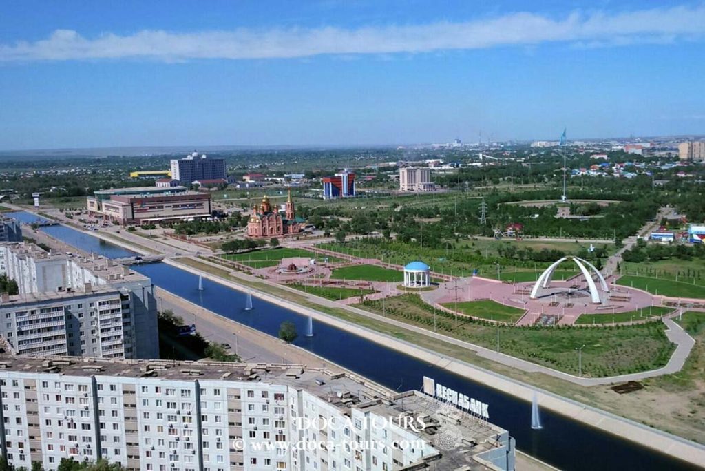
Situated in western Kazakhstan, Aktobe covers an area of approximately 428,469 km². It has two reservoirs: Aktobe and Sazdy. The city ranks fourth in terms of population size among Kazakhstan’s cities and is the largest city in the western part of the country. The population is ethnically diverse, with 79% Kazakhs and 14.8% Russians. The predominant religions are Islam and Christianity.
The Aktobe agglomeration is expected to grow to 1.3 million people, including nearby settlements.

Etymology
The name Aktobe is derived from the Kazakh words aq meaning "white" and tobe meaning "hill," referring to the elevated areas where the original 19th-century settlement was located. The city was officially known as Aktubinsk until 1999.
History
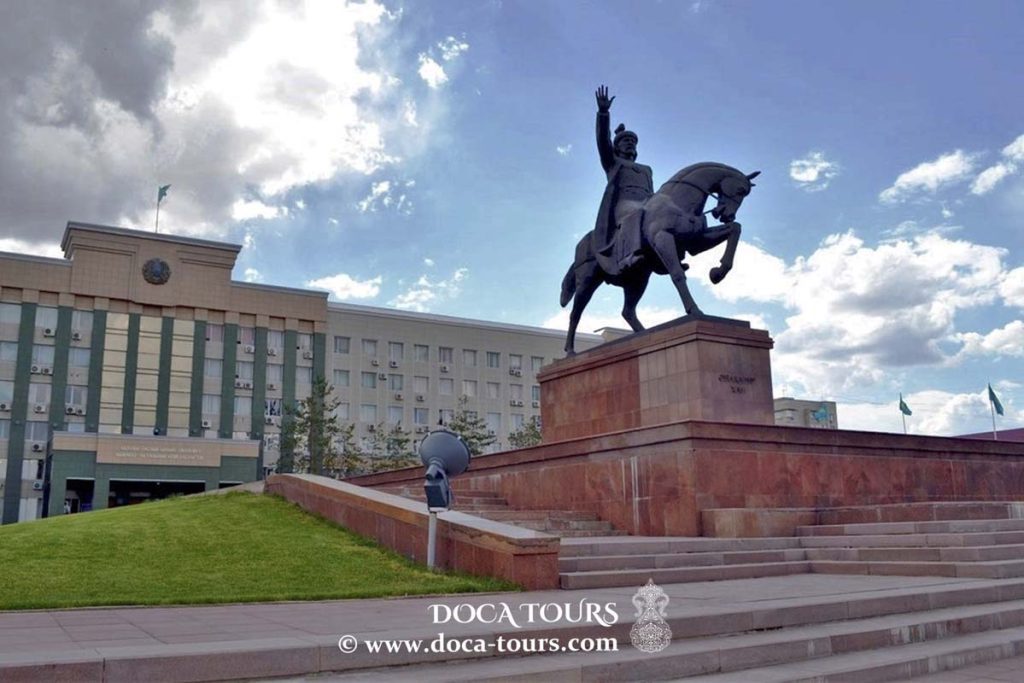
The territory of present-day Aktobe Region has witnessed the rise and fall of many Central Asian cultures and empires. The region played a significant role in the history of the Kazakh "Little Horde." The Kazakh military leader Eset Batyr based his campaigns against the Dzungars in this area, and his mausoleum is located 35 km (22 miles) south of Aktobe. Abulkhair Khan (1693–1748) also made this region his base.
In March 1869, a Russian military fort was established at the confluence of the Kargala and Ilek rivers along the Orenburg-Kazalinsk caravan route, with a garrison of 300 soldiers. From this point, Slavic settlers began migrating to the region for agricultural purposes, and soon neighborhoods were built around the fort. In 1874, the fort was expanded, and streets were laid from the fort gates. By 1891, the settlement was designated as a county town and officially named Aktubinsk.
At the turn of the 19th and 20th centuries, the settlement rapidly expanded. While the population was 2,600 in 1889, by 1909 it had grown more than fourfold to 10,716 official residents. The city's infrastructure also developed, with two churches, a seminary, a Tatar mosque, Russian-Kyrgyz boys' and girls' schools, a clinic, a bank, a post office, a city park, a cinema, and two mills by the early 20th century. The Trans-Aral Railway was extended through the city in 1901. In the years leading up to World War I, the city began to industrialize, with the construction of an electric plant, a brick factory, and the creation of an annual trade fair.
The city was significantly impacted by the Russian Revolution of 1905, experiencing strikes and unrest between 1905 and 1907. According to official Soviet history, Bolshevik revolutionaries were highly active in the area. On January 8, 1918, the Bolsheviks attempted to seize control of the local council, and by January 21, 1918, they had successfully established control over the city.
Geography
Aktobe Region is located in western Kazakhstan and is the second-largest region in the country by area. The city of Aktobe is situated at the confluence of the Kargala and Ilek rivers in the north-central part of the region. The Russian city of Orenburg lies approximately 200 km (120 miles) to the northwest, while the Russian city of Orsk is about 150 km (93 miles) to the northeast.
The area surrounding Aktobe primarily consists of flat steppe terrain, with low hills rising in the northeastern part of the region. Other rivers, such as the Emba and the Ural, also flow through the region. The southern border of the region reaches the Aral Sea. The natural vegetation around Aktobe is steppe, while the southern areas of the region transition into semi-desert.
Climate
Aktobe has a humid continental climate (Köppen classification Dfa) characterized by significant seasonal temperature variations. In winter, temperatures can drop as low as −48 °C (−54 °F), with an average daily minimum of −16 °C (3 °F). In summer, temperatures can rise to a high of 43 °C (109 °F), with an average maximum of 30 °C (86 °F). Weather changes rapidly, especially during spring and autumn. March, in particular, is known for windy days and shifting conditions, referred to locally as Bes Qonaq or "Five Guests."
Precipitation is most common in early spring and late autumn/early winter, with sporadic rainfall throughout the rest of the year. On average, Aktobe receives approximately 330 mm (13 inches) of precipitation annually. The region's extreme seasonal variations are due to its location in the heart of the vast Eurasian landmass.
Economy
Industry
Aktobe is a major industrial center closely tied to the chromite deposits located to the east of the city. It is home to factories producing ferroalloys, chromium compounds, agricultural machinery, X-ray equipment, and more. The chemical, light, and food industries are also well developed in the city.
In 1930, construction began south of the city on one of Kazakhstan's first and largest chemical plants, the Aktobe Chemical Plant, which later gave rise to the nearby town of Alga. After the collapse of the Soviet Union, production at the plant was halted, and the once key industry fell into complete decline. In 2018, regional authorities decided to fully decommission the facility. The Aktobe Ferroalloy Plant, launched in 1943, became the first ferrous metallurgy enterprise in Kazakhstan.
In 2014, the cost of production by the city’s enterprises reached 257.9 billion tenge (approximately 1.44 billion USD), accounting for 20.7% of the region’s total industrial output, which was 1.7% lower than the previous year. Metallurgical production accounts for more than 30% of the city’s total output, while the chemical industry contributes 10.3%.
The city's largest enterprises include the Aktobe Ferroalloy Plant (AZF), Aktobrentgen, the Aktobe Chromium Compounds Plant, and various food production companies. The AZF produces 22% of Kazakhstan’s ferroalloys. The Aktobe Chromium Compounds Plant is the only facility in the country producing chromium oxide, chromium anhydride, tanning agents, and sodium bichromate.
Aktobe is also home to major food production facilities, manufacturing flour, confectionery and pasta products, vegetable oil, and other goods.
Aktobe Region and Aktobe City
Aktobe Region, along with the city of Aktobe, is one of four regions in Kazakhstan where alcohol production is concentrated. The local vodka producer, LLP GEOM (Wimpex), is one of the largest vodka manufacturers in Kazakhstan, holding a 22% share of the market.
Other companies involved in alcohol production include LLP Aktobe Champagne Factory, JSC Arai, LLP Centaur, Aktobe Distillery "Crystal", the Kazakh-German joint venture Omirbek, and LLP Transmars.
Both Omirbek and GEOM have repeatedly ranked among the largest taxpayers in the Aktobe Region.
Education
Aktobe is home to numerous public and private higher education institutions, including Zhubanov University (formerly Aktobe State University) and the West Kazakhstan Medical University. The Kazakh military also operates a flight school in the city, which trained many pilots during the Soviet era. The Aktobe Art School is one of the region's most respected institutions and collaborates with UNESCO.
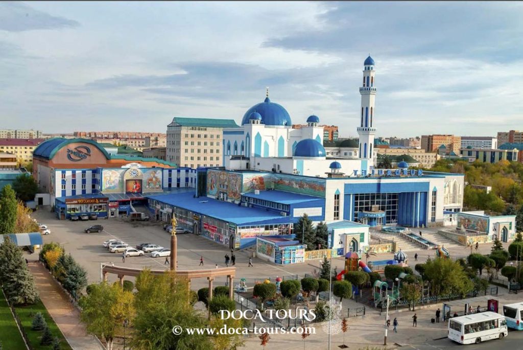
Culture
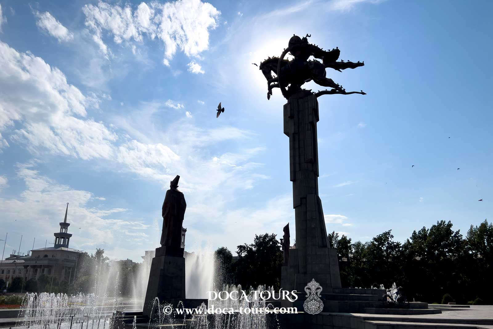
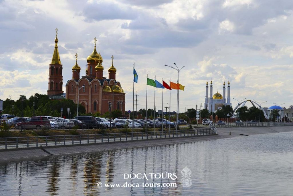
The city is home to six museums. The oldest among them, the Aktobe Regional Museum of History and Local Lore, was established in 1929, originating from a school museum, and is considered one of Aktobe's landmarks. The Aliya Moldagulova Memorial Museum, inaugurated on April 22, 1985, is located on the avenue named after her, near the Moldagulova Memorial Complex and the Alley of Heroes. The "Rukhaniyat" Museum, opened in 2011 on the first floor of the Nur Gasyr Mosque, focuses on scientific, educational, and research activities. The Museum of Fine and Applied Arts has been housed on the city's central avenue since November 12, 2013, in the former registry office building.
Parks
During the Soviet era, amusement parks with various attractions were established in Aviator Park, Central Park named after Lenin (now the First President’s Park), and Pushkin Park. Today, Pushkin Park features around 20 attractions, and an additional 10 modern rides are located in the "Ak Bot" zone within the park.
Previously, a summer amusement park would open annually in the city. In the 2010s, as part of a major renovation of Aktobe Central Park, which was renamed in honor of Nursultan Nazarbayev, outdated attractions, including the Ferris wheel, were removed. In their place, the $10 million Captain Brig Entertainment Center was constructed. The center includes carousels and roller coasters, while its main pavilion, covering 1,150 square meters, houses children's play attractions. However, Captain Brig is noted for relatively high ticket prices and a limited number of free entertainment options.
Children’s entertainment centers can be found in the courtyard of the Nur Daulet Mall and inside MEGA Aktobe. The Happylon Entertainment Center in MEGA spans 2,200 square meters and offers around 130 attractions and arcade machines. Additionally, a children’s playground near Nur Daulet featured the city’s only mini-zoo for about ten years until its closure in 2016.
The Health Park, opened in 2017, includes a mini-football field, a basketball court, and other sports facilities.
Planetarium
The Aktobe Planetarium is the first planetarium in Kazakhstan and, for a long time, was the only one in the country. Its domed building was constructed by Moscow specialists in Pioneer Park at the intersection of Nekrasov and Frunze Streets. Until 2001, the planetarium was led by its long-standing director, Nikolai Pavlovich Zafiris.
The "Star Hall" of the planetarium, featuring a 10-meter dome, allows visitors to experience various astronomical phenomena such as solar and lunar eclipses, meteor showers, halos, sunrises and sunsets, and a panoramic view of Baikonur. The hall also hosts lectures on astronomy and astronautics.
Between 1967 and 2012, the planetarium welcomed approximately 1.5 million visitors. Its primary audience consists of schoolchildren, followed by students and adults.
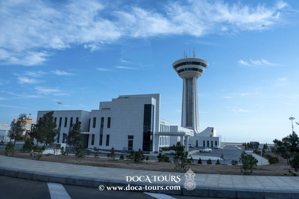
Transport
Aktobe maintains international railway connections to Moscow (via Saratov), Bishkek, and Tashkent, as well as daily domestic routes to Aktau, Atyrau, Almaty, and Astana.
Aktobe Airport offers flights to Moscow, Almaty, Astana, Atyrau, Shymkent, and Aktau.
Bus services link Aktobe with villages in the Aktobe region and cross-border destinations in Russia.
Energy and Utilities
The Aktobe oil field, with estimated reserves of 1.17 billion barrels of crude oil, has been under development since 2007 by the CNPC/AktobeMunaiGaz consortium. Smaller German and American joint ventures have also participated in oil extraction projects in the region.
Major oil and gas pipelines cross Aktobe and its surrounding areas. The 400-kilometer (250-mile) Keniyak-Orsk pipeline, with an annual capacity of 7.5 million tons, transports oil from Aktobe's fields to the Orsk refinery in Russia. Since 2003, the Kazakhstan-China pipeline has been carrying oil from Aktobe fields to Atyrau. The Keniyak-Kumkol pipeline phase, aimed at linking Aktobe’s oil fields with the Atasu-Alashankou pipeline for crude oil delivery to Xinjiang, was slated for completion in 2011.
Aktobe is also connected to the Bukhara-Ural gas pipeline.


 At the turn of the 19th and 20th centuries, the settlement rapidly expanded. While the population was 2,600 in 1889, by 1909 it had grown more than fourfold to 10,716 official residents. The city's infrastructure also developed, with two churches, a seminary, a Tatar mosque, Russian-Kyrgyz boys' and girls' schools, a clinic, a bank, a post office, a city park, a cinema, and two mills by the early 20th century. The Trans-Aral Railway was extended through the city in 1901. In the years leading up to World War I, the city began to industrialize, with the construction of an electric plant, a brick factory, and the creation of an annual trade fair.
The city was significantly impacted by the Russian Revolution of 1905, experiencing strikes and unrest between 1905 and 1907. According to official Soviet history, Bolshevik revolutionaries were highly active in the area. On January 8, 1918, the Bolsheviks attempted to seize control of the local council, and by January 21, 1918, they had successfully established control over the city.
At the turn of the 19th and 20th centuries, the settlement rapidly expanded. While the population was 2,600 in 1889, by 1909 it had grown more than fourfold to 10,716 official residents. The city's infrastructure also developed, with two churches, a seminary, a Tatar mosque, Russian-Kyrgyz boys' and girls' schools, a clinic, a bank, a post office, a city park, a cinema, and two mills by the early 20th century. The Trans-Aral Railway was extended through the city in 1901. In the years leading up to World War I, the city began to industrialize, with the construction of an electric plant, a brick factory, and the creation of an annual trade fair.
The city was significantly impacted by the Russian Revolution of 1905, experiencing strikes and unrest between 1905 and 1907. According to official Soviet history, Bolshevik revolutionaries were highly active in the area. On January 8, 1918, the Bolsheviks attempted to seize control of the local council, and by January 21, 1918, they had successfully established control over the city.
 In 2014, the cost of production by the city’s enterprises reached 257.9 billion tenge (approximately 1.44 billion USD), accounting for 20.7% of the region’s total industrial output, which was 1.7% lower than the previous year. Metallurgical production accounts for more than 30% of the city’s total output, while the chemical industry contributes 10.3%.
The city's largest enterprises include the Aktobe Ferroalloy Plant (AZF), Aktobrentgen, the Aktobe Chromium Compounds Plant, and various food production companies. The AZF produces 22% of Kazakhstan’s ferroalloys. The Aktobe Chromium Compounds Plant is the only facility in the country producing chromium oxide, chromium anhydride, tanning agents, and sodium bichromate.
Aktobe is also home to major food production facilities, manufacturing flour, confectionery and pasta products, vegetable oil, and other goods.
In 2014, the cost of production by the city’s enterprises reached 257.9 billion tenge (approximately 1.44 billion USD), accounting for 20.7% of the region’s total industrial output, which was 1.7% lower than the previous year. Metallurgical production accounts for more than 30% of the city’s total output, while the chemical industry contributes 10.3%.
The city's largest enterprises include the Aktobe Ferroalloy Plant (AZF), Aktobrentgen, the Aktobe Chromium Compounds Plant, and various food production companies. The AZF produces 22% of Kazakhstan’s ferroalloys. The Aktobe Chromium Compounds Plant is the only facility in the country producing chromium oxide, chromium anhydride, tanning agents, and sodium bichromate.
Aktobe is also home to major food production facilities, manufacturing flour, confectionery and pasta products, vegetable oil, and other goods.