NUREK
- Geographical coordinates: 38°22′18″N 69°20′53″E
- Alternative name: Norak
- Elevation: 300 m
- Official language: Tajik
- Popular languages: Russian, Uzbek etc.
- Nationals: Tajiks, Uzbek, Russian etc.
- Population: 27 000 (as of 2019)
- Time Zone: UTC+5
- Telephone Code: +992 31
- Postal Codes: 735XXX
- Vehicle Registration Code: 03

Nurek (Tajik: Norak)
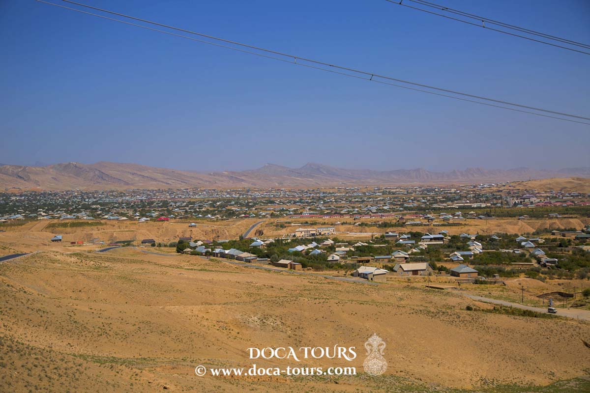
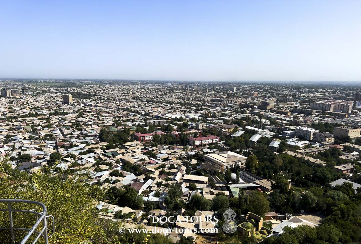
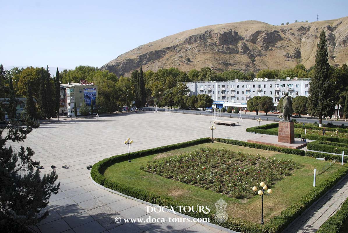
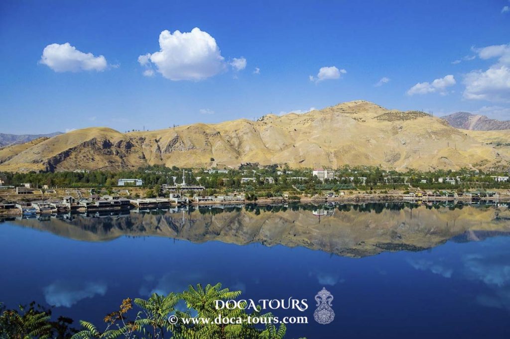
Nurek is a city in Tajikistan, located 70 km southeast of the capital, Dushanbe.
Formation
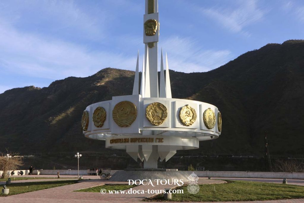
The city emerged during the construction of the Nurek Hydroelectric Power Station. On December 16, 1960, the village of Nurek was transformed into a town under district jurisdiction.
Geography
Nurek lies on the Vakhsh River at an altitude of 885 meters above sea level.
History
On July 12, 1961, Nurek was granted the status of a city under republican jurisdiction.
On September 8, 1988, the city became part of the Khatlon Region.
Industry
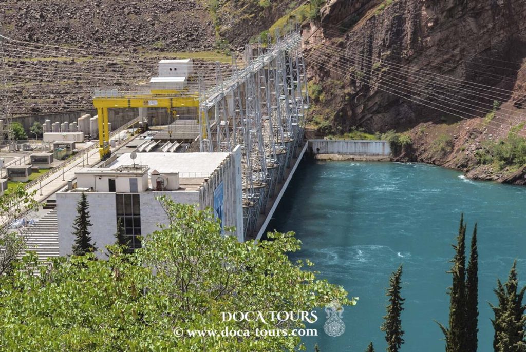
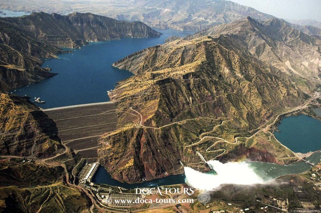
Nurek Hydroelectric Power Station: Operational since 1972, with a dam height of 300 meters, generating capacity of 3,000 MW, and a reservoir surface area of 98 km².
- Reinforced concrete products plant
- Garment factory
- Bread factory
- Environmental Situation
The rapid industrial development and population growth have caused significant environmental challenges in Nurek. Due to insufficient waste management infrastructure, the city faces issues with improperly maintained landfills that fail to meet sanitary standards.
Strategic Facilities
At an altitude of 2,200 meters, the Nurek Optical-Electronic Complex, also known as "Okno" (Window), is located. It serves as part of the Russian Aerospace Forces’ space surveillance system.
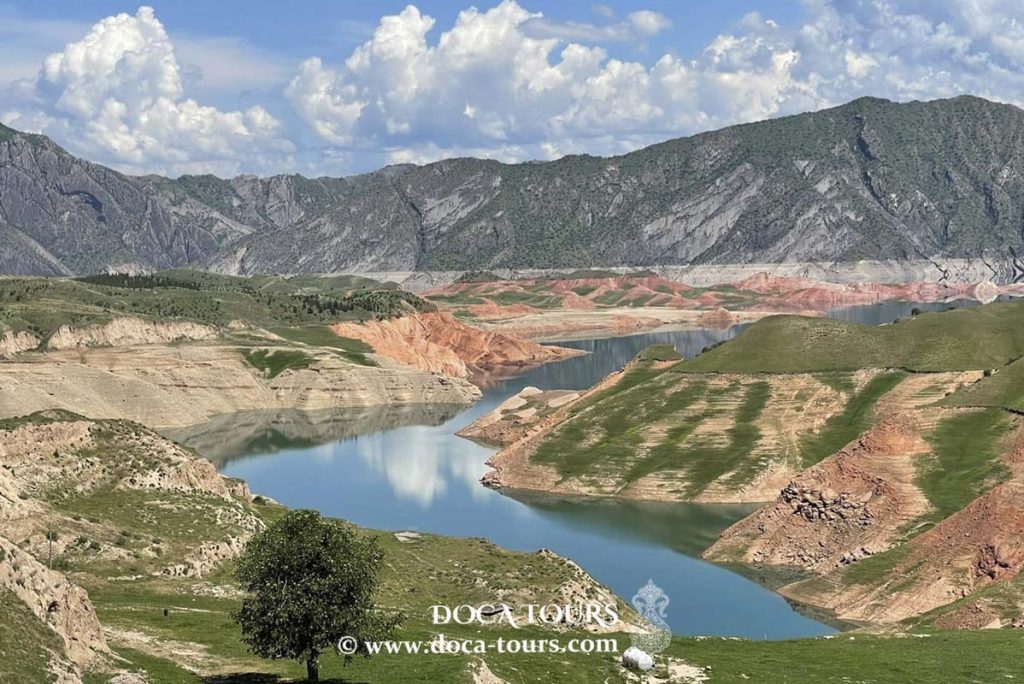
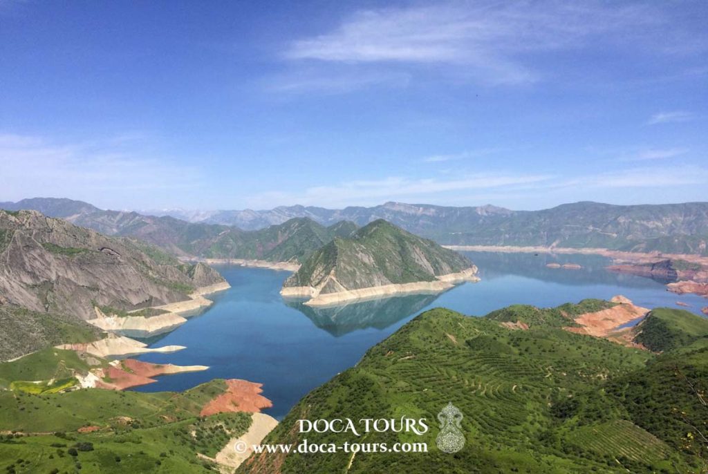
Nurek Reservoir
The Nurek Reservoir (Tajik: Obanbori Norak) is an artificial lake formed on the Vakhsh River within Nurek District. It was created as part of the Nurek Hydroelectric Power Station project.
The reservoir was filled in 1972. It has a surface area of 98 km², a total volume of 10.5 km³ (usable volume: 4.5 km³), a length of 70 km, and a width of 1 km. The average depth is 107 meters, with water levels fluctuating by 53 meters. The reservoir provides seasonal flow regulation for the Vakhsh River and irrigates 1 million hectares of fertile land in the Karshi and Kyzylkum steppes, the Dangara Plateau, and other areas. It also supports navigation. Water is released through a 5-kilometer tunnel carved into the rock. The city of Nurek is situated near the dam.


 The reservoir was filled in 1972. It has a surface area of 98 km², a total volume of 10.5 km³ (usable volume: 4.5 km³), a length of 70 km, and a width of 1 km. The average depth is 107 meters, with water levels fluctuating by 53 meters. The reservoir provides seasonal flow regulation for the Vakhsh River and irrigates 1 million hectares of fertile land in the Karshi and Kyzylkum steppes, the Dangara Plateau, and other areas. It also supports navigation. Water is released through a 5-kilometer tunnel carved into the rock. The city of Nurek is situated near the dam.