


Video: https://www.youtube.com/watch?v=rygYcZ5X9Zs&t=86s
Dear subscribers and new guests of our YouTube channel, today we’ll introduce you to a seasonal lake, Aksakata, located in Tashkent’s Gazalkent district.
Have you ever wondered why this stunning natural wonder, dubbed the Aksakata Sea, is called a seasonal lake? Perhaps it piques your interest.
In March, as the snow on Tashkent’s mountains begins to melt, the seasonal lake forms, naturally collecting water from Mount Surenata.
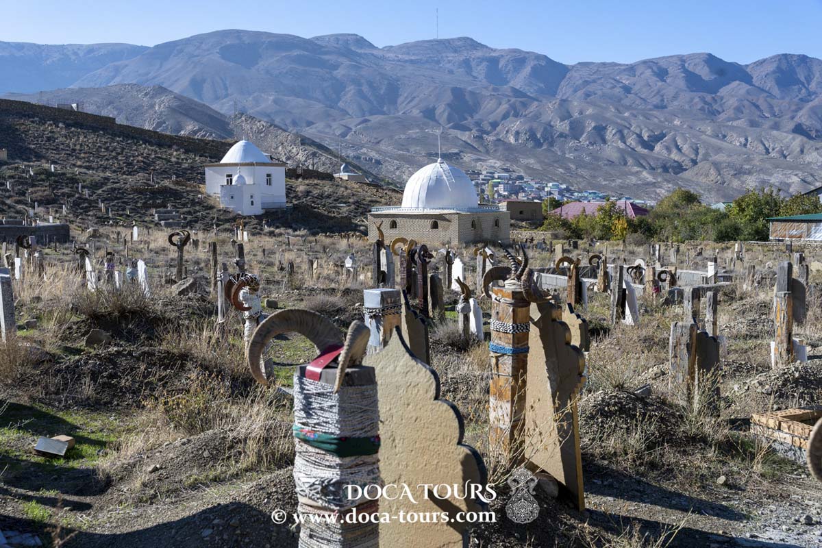
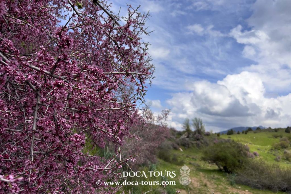
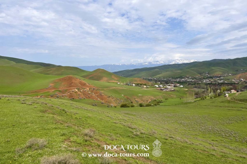
Mount Surenata, standing at 2042 metres, lies 25 kilometres from Gazalkent. The path to its summit winds through the forested Atake area. Atop the mountain and its ridges, you’ll behold a breathtaking panorama encompassing the Nurekaty and Aksagaty gorges, as well as the snow-capped peaks of the Chatkal ridge, Karzhantau, and numerous others.
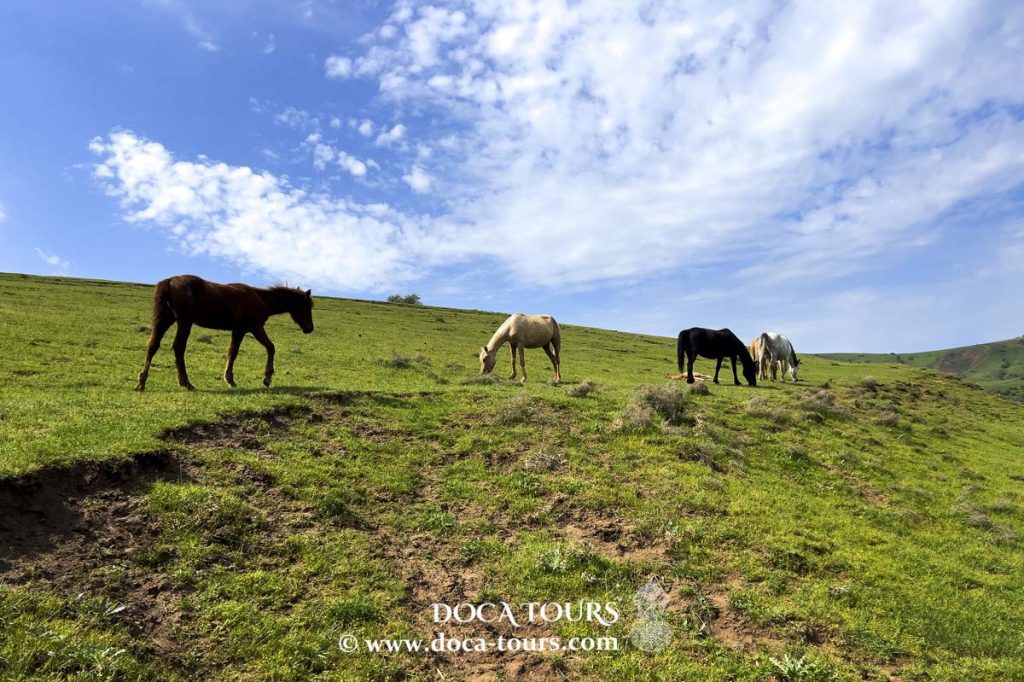
As March ends, a vast body of water emerges—a boon for local fauna seeking hydration. Shepherds, guiding their flocks through the valleys, bring their animals to drink from this newfound lake.
Come June, the water gradually recedes, leaving behind only a large depression: the basin of the seasonal lake. All surplus water finds its way underground to the Aksakata River.
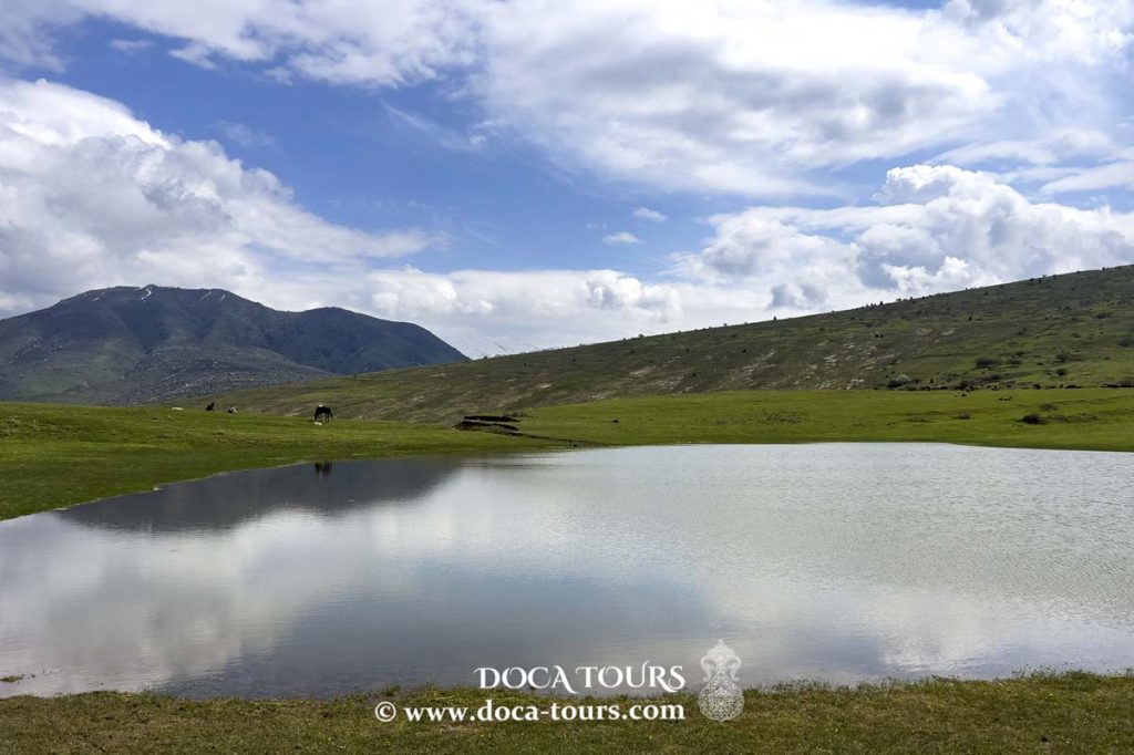
The Aksakata seasonal lake area is perennially verdant and picturesque. Here, amidst herds of sheep and cows quenching their thirst, you’ll find horses luxuriating in the warmth, bathing in the lake’s waters.
Aksakata Lake is shallow, with its deepest point barely reaching an adult’s knee. It spans approximately 50 metres by 50 metres.
The name “Aksakata” is of Kazakh origin, meaning “limping father.” Only Kazakhs inhabit this area.
Aksakata was a Kazakh shepherd who traversed the land with his sheep, his limp earning him the name. His act of digging a river through a parched mountain village earned him reverence from his peers.
Today, Aksakata is not only known for its seasonal lake but also for the river nestled between two stunning canyons.
Aksakatasay, also known as Aksakata (in Uzbek, Oqsoqotasoy), is a mountain river in the Tashkent region. It serves as the largest left tributary of the Chirchik River.
Stretching 48 kilometres, with a basin area of 453 square kilometres and an average elevation of 1840 metres in Karamazar village, Aksakata’s flow is sustained by snow and rain, leading to pronounced seasonal fluctuations.
From April to June, particularly in May, the Aksakata River experiences flooding, reaching a flow rate of 72.1 m3/s. In the low-water period (July to October), this drops to 1.1 m3/s. The annual average flow near Karamazar village is 6.14 m3/s, with a discharge volume of 193 million m3 annually. Aksakatasay and Ugam, on the left and right, respectively, stand as Chirchik’s largest and only year-round tributaries.
Surprisingly, our YouTube channel and website, www.doca-tours.com, offer scarcely detailed information about this seasonal lake.
We sincerely hope you enjoyed our presentation. Please support us with likes and share your thoughts in the comments.
Join us as we journey through Central Asia, uncovering such breathtaking locales.
Thank you very much for your attention.
Subscribe to the channel and don’t forget to like our videos.
#lake, #nature, #season, #landscape, #uzbekistan, #tashkent, #park, #water, #sky, #tree, #view, #blue, #outdoor, #travel, #asia, #forest, #summer, #tourism, #beautiful, #mountain, #scenic, #outdoors, #environment, #beauty, #green, #vacation, #snow, #scenery, #garden, #background, #winter, #range, #natural, #rock, #spring, #valley, #pond, #autumn, #adventure, #panorama, #river, #clouds, #botanical, #trail, #chimgan, #trees, #reflection, #colorful, #hill, #foliage