URGUT
- Geographical coordinates: 39°24′N 67°15′E
- Elevation: 1059 m
- Popular languages: Uzbek, Tajik
- Official language: Uzbek
- Population: 65 000 (2020)
- Nationals: Uzbek, Tajik
- Time Zone: UTC+5
- Telephone Code: +998 366
- Postal Codes: 1901XX
- Vehicle Registration Code: 30
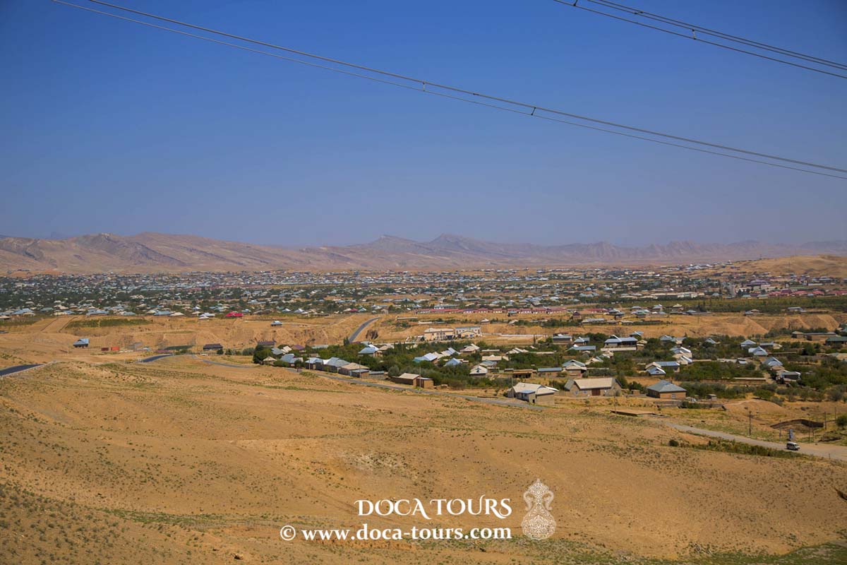
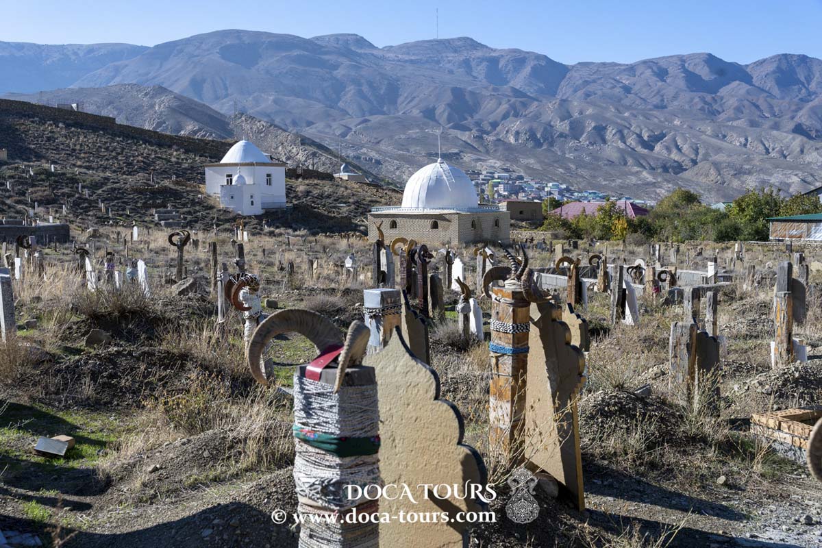
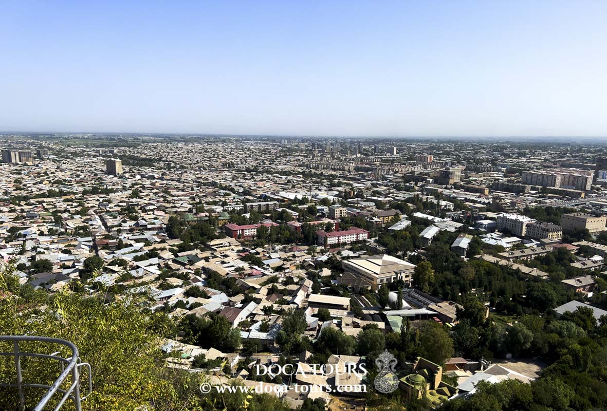
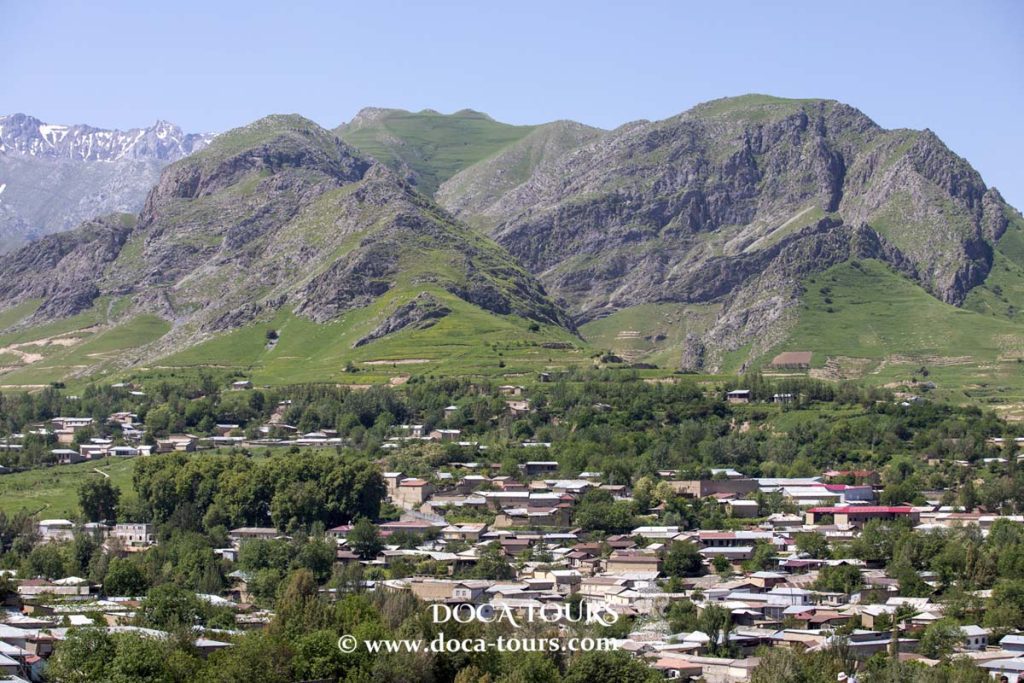
Urgut (Uzbek: Urgut / Ургут; Russian: Ургут) is a city in Uzbekistan's Samarqand Region and serves as the administrative center of Urgut District. As of 2016, the city had a population of 65,300. Urgut is renowned for its ancient grove of plane trees, some over 1,000 years old, and is situated in a picturesque mountainous area.

The inhabitants of Urgut, a subgroup of ethnic Uzbeks, trace their heritage back to the city itself. Nearly 500,000 people identify as being of Urgut origin. Uzbek is the primary language spoken in the region.
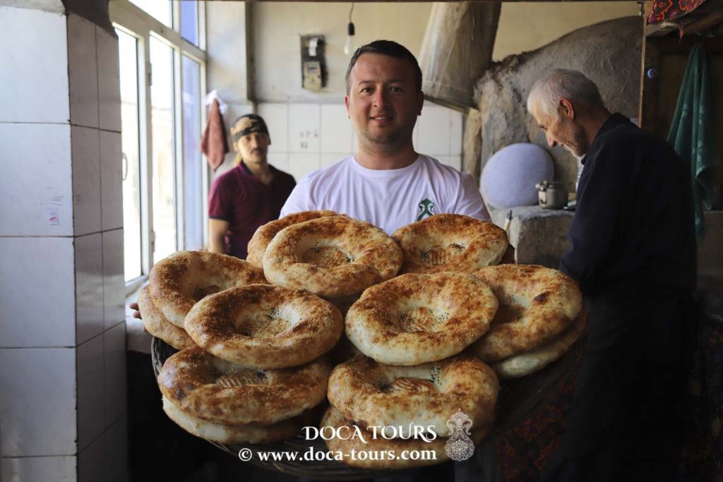
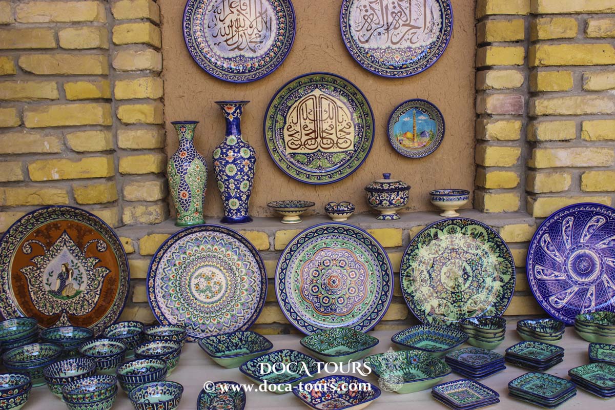
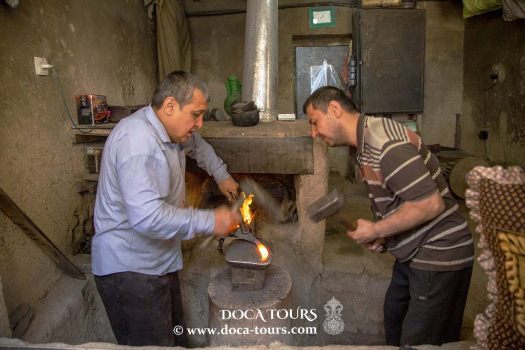
The people of Urgut are deeply engaged in farming and small-scale mercantile trading, with craftsmanship being another prominent feature of the town's identity. This artisanal tradition has been carefully preserved over the centuries.
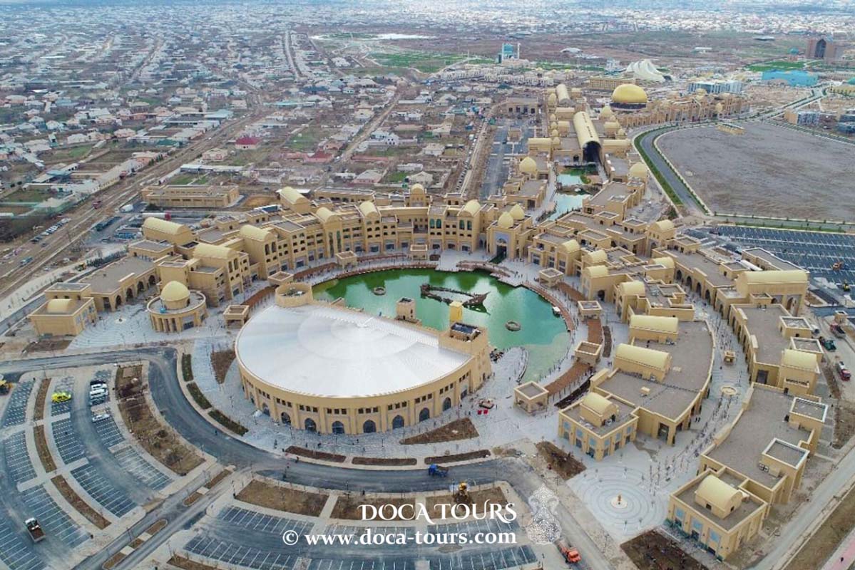
Urgut is also home to one of the largest and most diverse markets in the region, offering a wide range of affordable goods. Its vibrant marketplace attracts visitors not only from the surrounding areas but also from Samarkand, the regional capital.
History
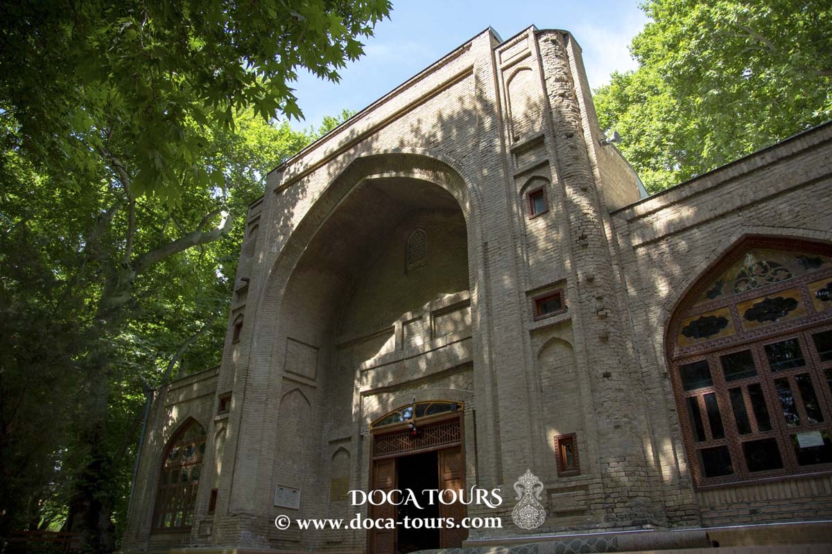
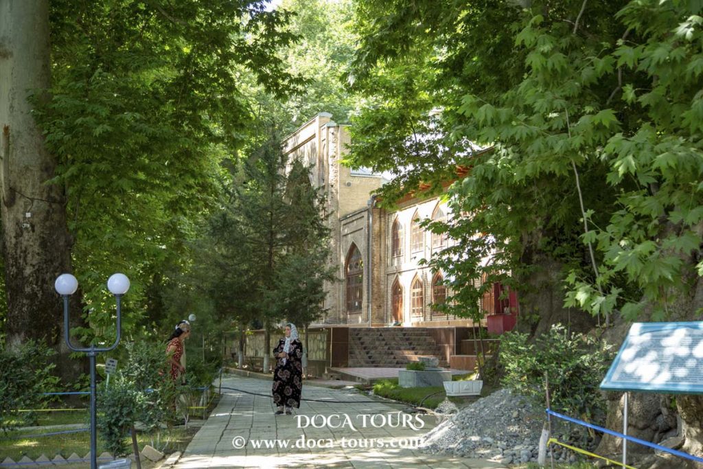
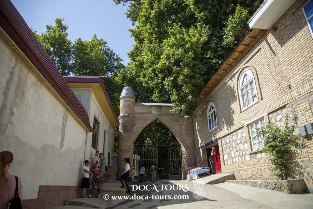
Urgut is one of the oldest settlements in Uzbekistan, famed for its ancient plane trees (chinars), some of which are over 1,000 years old. A notable site in the city is Chor-Chinar, meaning "Four Chinars" in Persian and Tajik, featuring a picturesque alley of centuries-old trees and a mosque constructed in the early 20th century. Nearby, archaeologists have discovered remnants of a Nestorian church dating back to the 9th century.
The name "Urgut" as a toponym first appeared in the 17th century and refers to one of the tribal groups of Uzbeks. Interestingly, some communities in Uzbekistan, Tajikistan, and Afghanistan identify themselves as Urgutlik (or Urguti in Tajik), a subgroup of ethnic Uzbeks tracing their ancestry to the Urgut region.
During the era of the Bukhara Emirate, Urgut was the center of the semi-autonomous Urgut Bekdom. The city boasted a well-fortified citadel and was located in a valley on a route leading to Shahrisabz. From the 18th century until 1868, the local Uzbek dynasty of the Ming clan, related to the Kokand Mings, ruled Urgut.
In 1868, during military campaigns by Russian forces against the Bukhara Emirate, Urgut posed a strategic challenge due to its geographical location. On May 12, Russian troops under Colonel Abramov captured the city after a decisive assault, facilitating their advance toward the Zeravshan Valley and Bukhara.
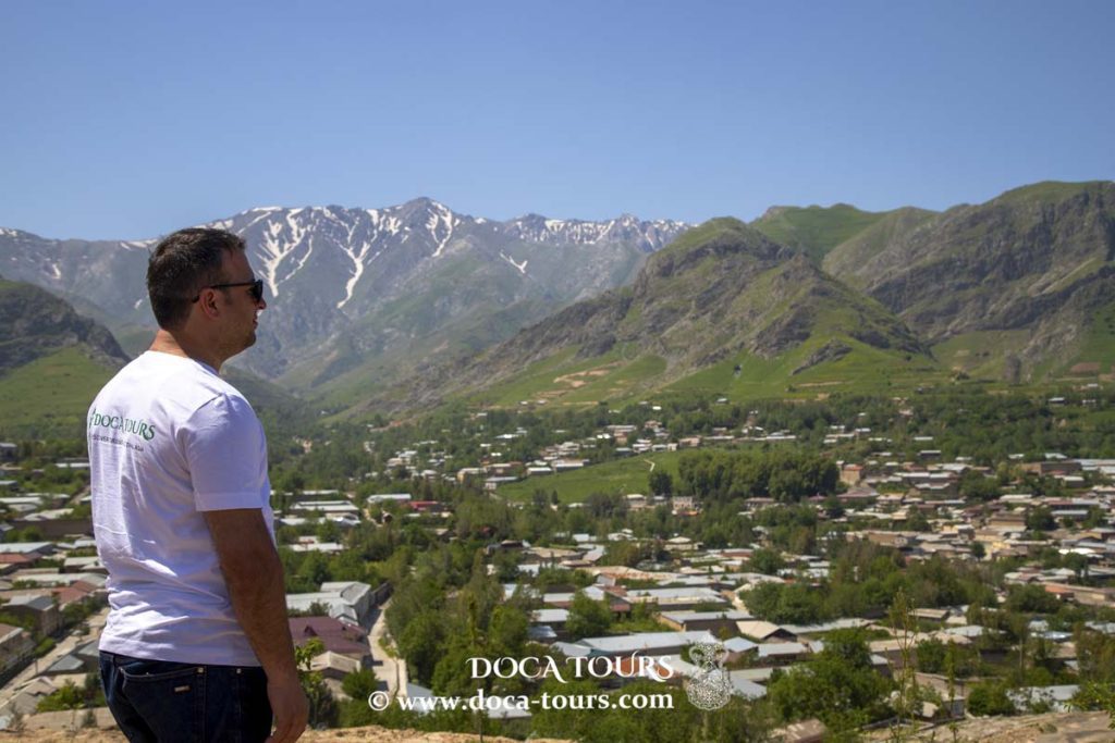
Geography
Urgut lies 35 kilometers southeast of Samarkand and shares a border with the Kashkadarya Region.
Population
Currently, Urgut is home to over 35,000 residents.
Economy
The city has several industries, including carpet-weaving factories, a tobacco fermentation plant, and a slate manufacturing facility.

 The inhabitants of Urgut, a subgroup of ethnic Uzbeks, trace their heritage back to the city itself. Nearly 500,000 people identify as being of Urgut origin. Uzbek is the primary language spoken in the region.
The people of Urgut are deeply engaged in farming and small-scale mercantile trading, with craftsmanship being another prominent feature of the town's identity. This artisanal tradition has been carefully preserved over the centuries.
The inhabitants of Urgut, a subgroup of ethnic Uzbeks, trace their heritage back to the city itself. Nearly 500,000 people identify as being of Urgut origin. Uzbek is the primary language spoken in the region.
The people of Urgut are deeply engaged in farming and small-scale mercantile trading, with craftsmanship being another prominent feature of the town's identity. This artisanal tradition has been carefully preserved over the centuries.
 Urgut is also home to one of the largest and most diverse markets in the region, offering a wide range of affordable goods. Its vibrant marketplace attracts visitors not only from the surrounding areas but also from Samarkand, the regional capital.
 The name "Urgut" as a toponym first appeared in the 17th century and refers to one of the tribal groups of Uzbeks. Interestingly, some communities in Uzbekistan, Tajikistan, and Afghanistan identify themselves as Urgutlik (or Urguti in Tajik), a subgroup of ethnic Uzbeks tracing their ancestry to the Urgut region.
 During the era of the Bukhara Emirate, Urgut was the center of the semi-autonomous Urgut Bekdom. The city boasted a well-fortified citadel and was located in a valley on a route leading to Shahrisabz. From the 18th century until 1868, the local Uzbek dynasty of the Ming clan, related to the Kokand Mings, ruled Urgut.
 In 1868, during military campaigns by Russian forces against the Bukhara Emirate, Urgut posed a strategic challenge due to its geographical location. On May 12, Russian troops under Colonel Abramov captured the city after a decisive assault, facilitating their advance toward the Zeravshan Valley and Bukhara.